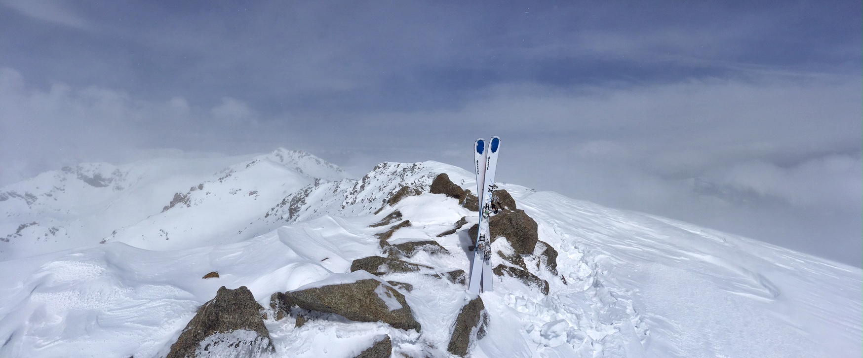
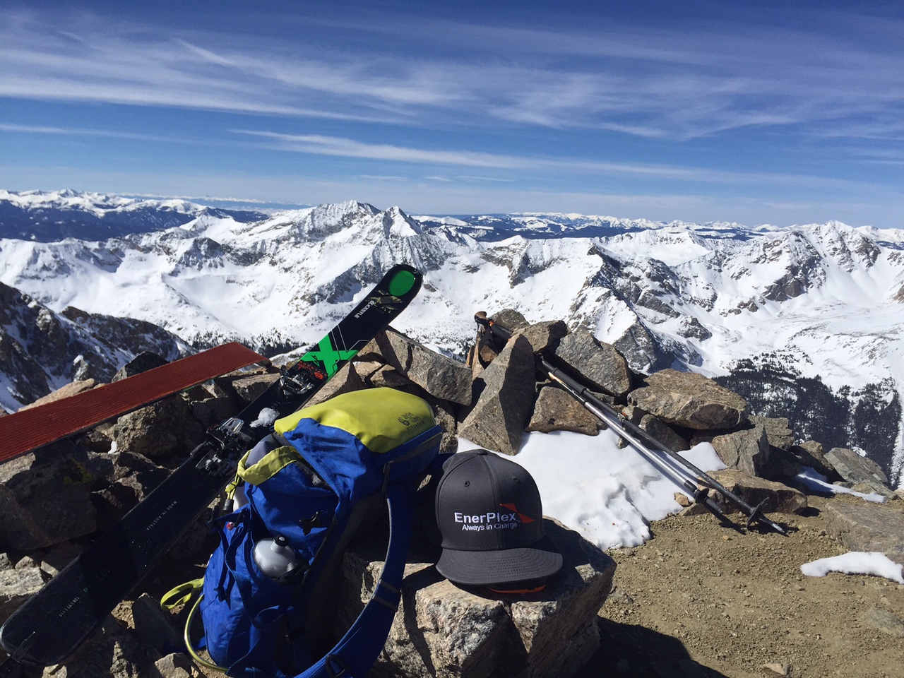
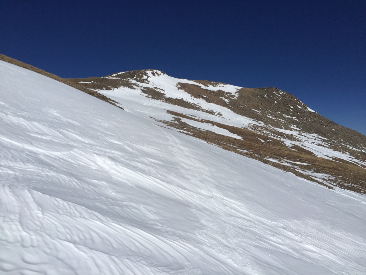
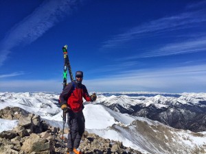
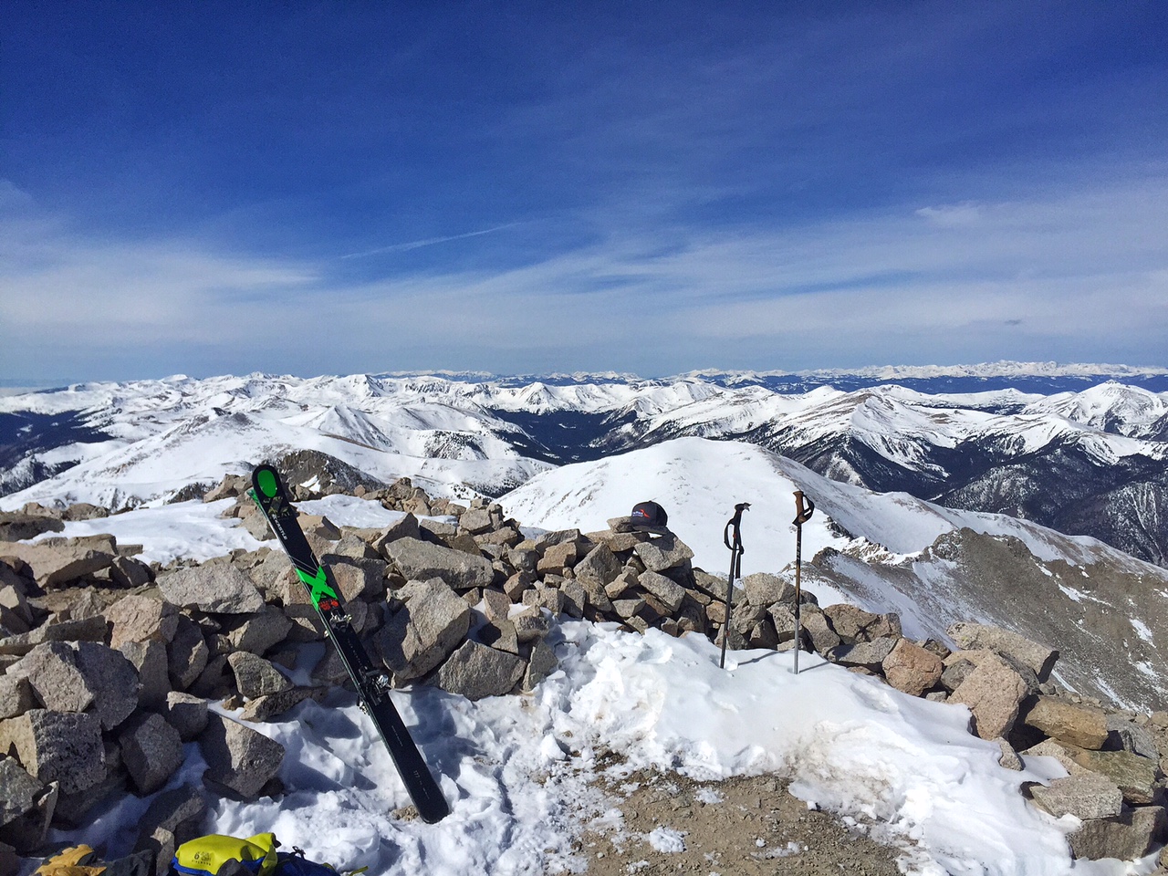
Summit of Massive 14,420′, My 6th official ski of this peak in my career.
I got to climb above the clouds from an approaching storm and enjoy up to 18″ of fresh powder on my ski descent for Mt. Massive on Sunday. It was an 18 mile day as the road to access N. Halfmoon was only plowed to about 5.5 miles below the summer trailhead. It felt great to finish up the Sawatch Range, and with awesome weather coming this week, I’ll start taking on some of the really tough ones soon.
More to be posted on the Trip Reports Page for Mt. Massive when I get some time!
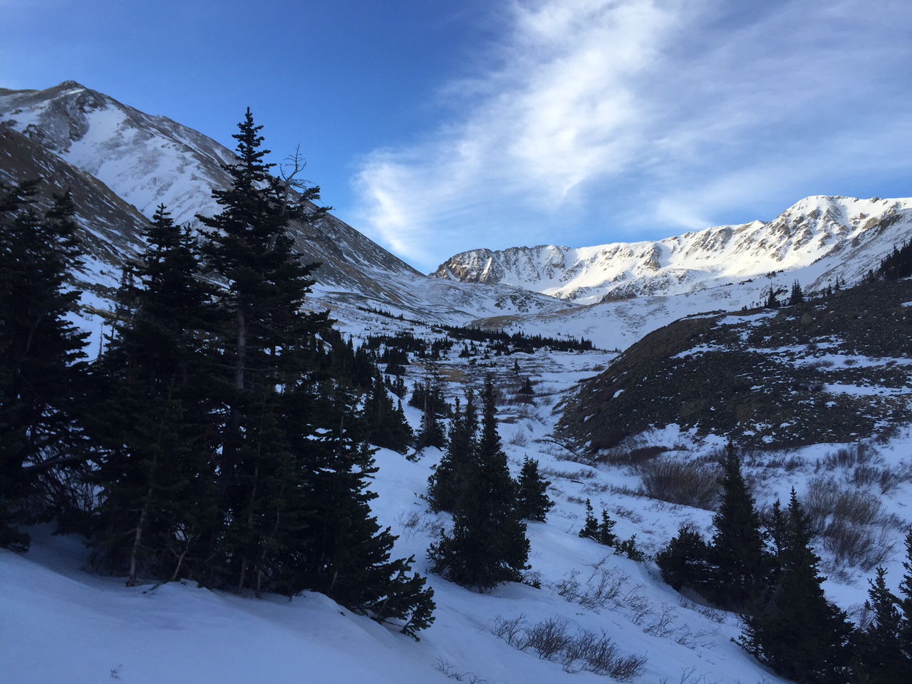
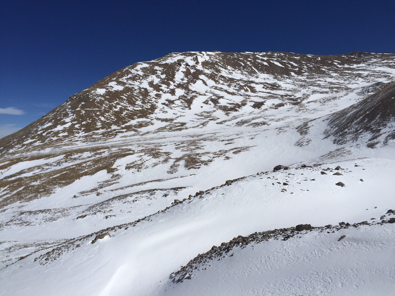
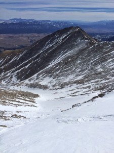
Belford (left) and Missouri to the right up the basin.
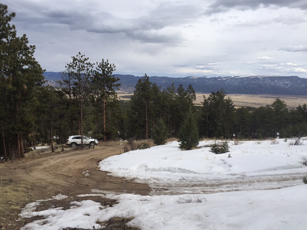
I left my house around 4am to head down south and get a good jump on Missouri, Belford and Oxford on Friday. The forecast was for light winds and sunny skies so I knew that a little effort could mean getting three peaks in a day. As I drove up the dirt road to the Missouri gulch trailhead I was pleasantly surprised at how much the road to the trailhead had melted out. In January I had come up the same road by way of snowmobile to access Huron. I didn’t expect to drive through some frozen sections of snow and then dirt road and reach the summer trailhead. Wow!
It was going to save me some excellent time to be able to start from the normal trailhead.
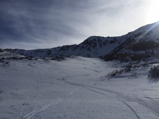
In early morning light around 530am I got moving skinning quickly up the switchbacks and into Missouri gulch. A nice snowshoe track from folks a few days earlier allowed me to reach timberline in the basin below Belford, heading towards Missouri in a quick hour and a half. The occasional gust greeted me, and I was soon skinning up the basin and into the throes of the northeast aspect of Missouri and above 13,000’ in the sunshine. A short break to put sunscreen on and then I put my skis on my pack and booted up to the north ridge.
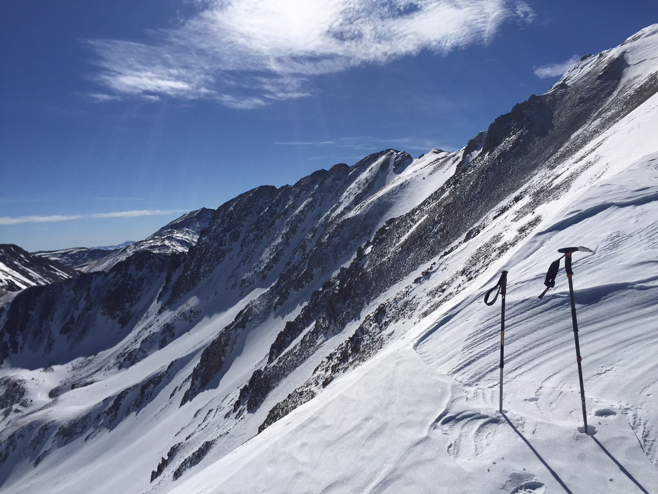
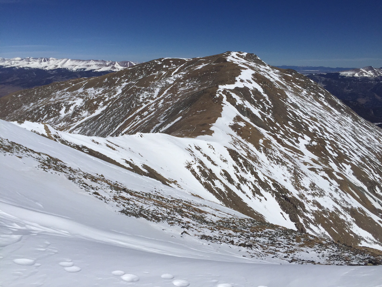
On the ridge at 13,800. The north face seen here.
When I got to the ridgeline, I had nothing but about a mile of short ups and downs on a fun and windblown ridge. The sun was nice and warm, and the snow was firm, so I enjoy my stroll to the south and the views were impressive.
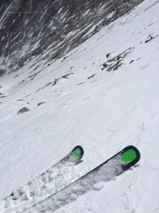
looking back at my steps I had to kick in order to make it towards the summit.
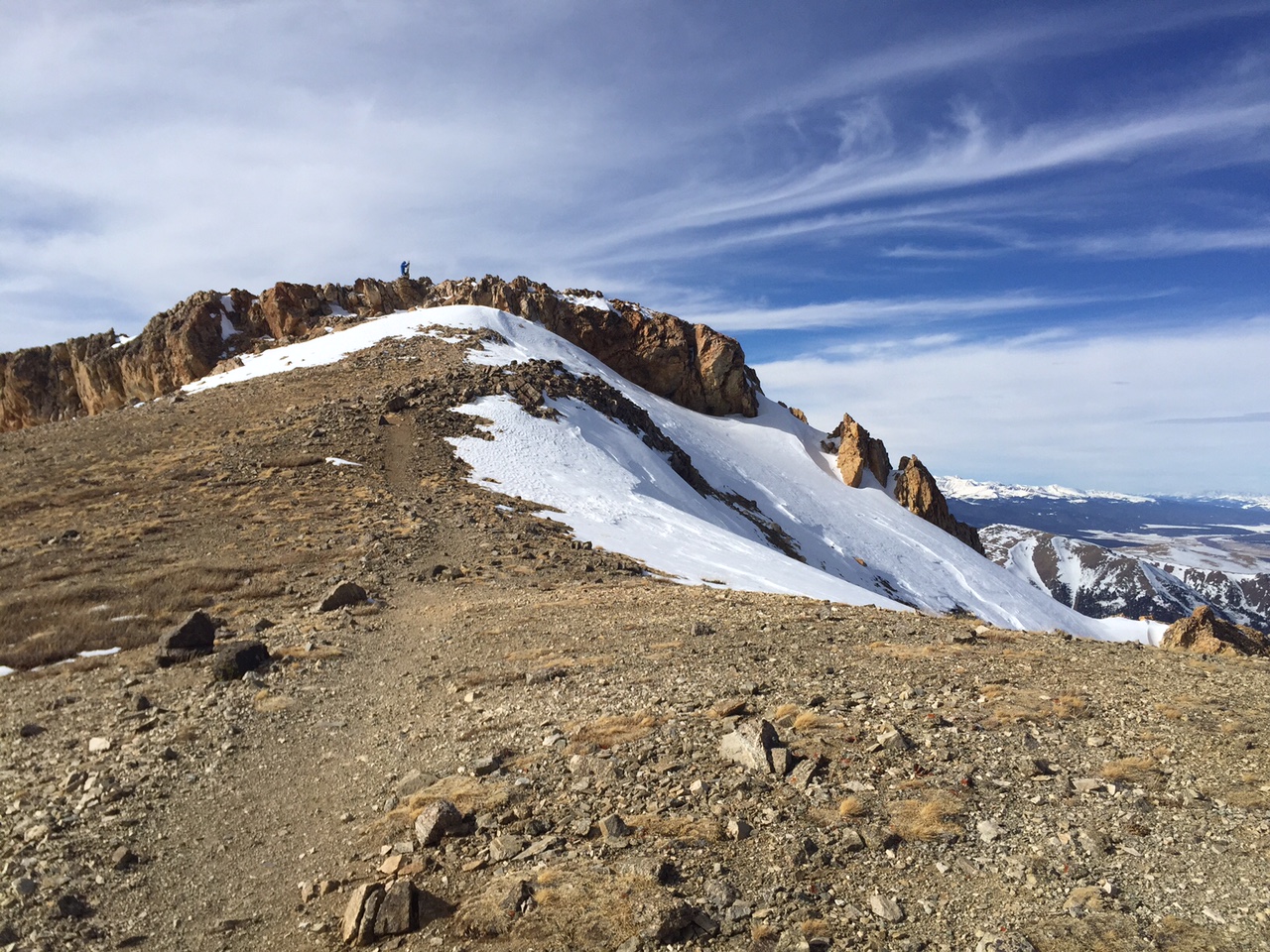
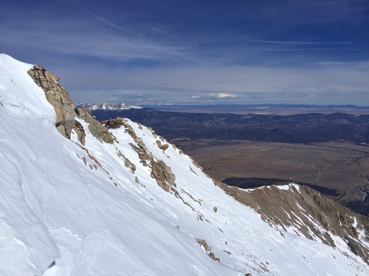
Near the summit there are a series of sharp points on the ridge, in the summer the trail passes to the west of them. The snow was firm enough to kick steps in the steep sideways incline, so I pushed across a short 150 yard section and was up on the summit by 1015am.
Summit 14,067′
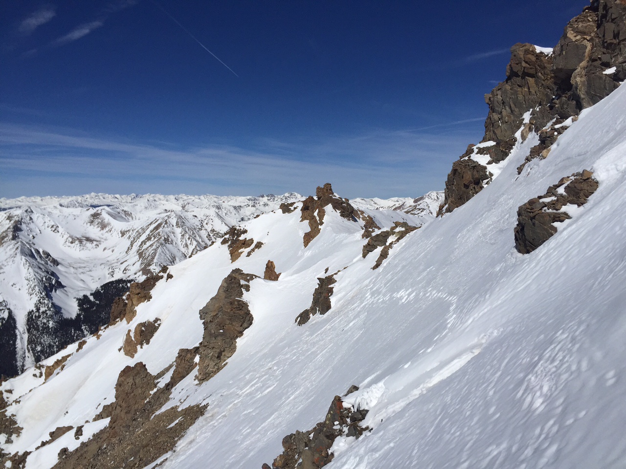
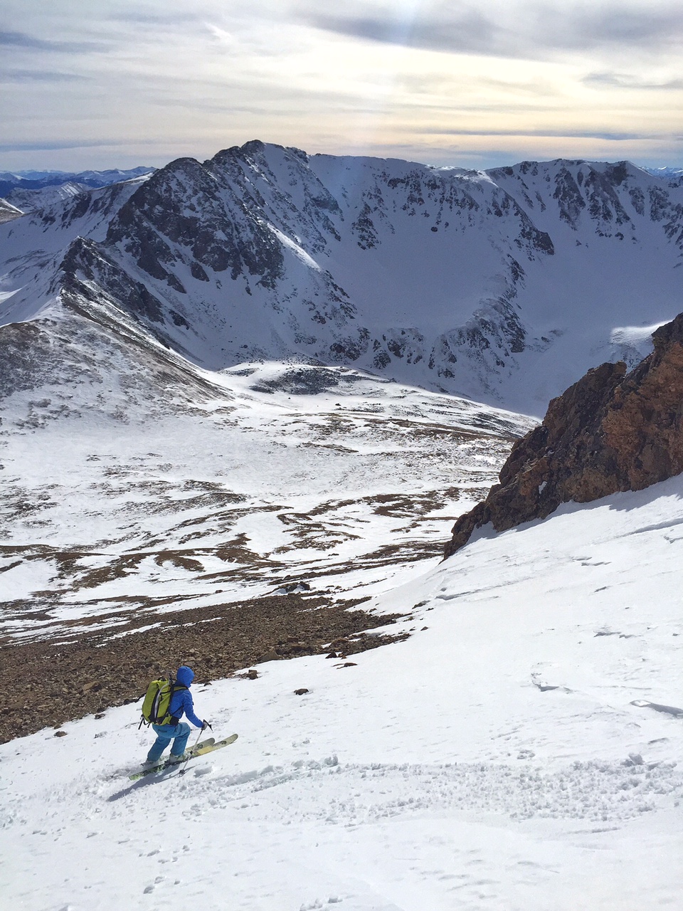
The north face couloir drops almost directly off the summit and into the elkhead basin below. After a ski cut or two, the powder conditions felt perfect, so I pulled out my camera and filmed part of my descent.
When I got to the bottom, I took an angle to the southeast and began my ascent of Belford In order to head towards Oxford.
I would be able to put together a reasonable line directly down the west face coming straight down towards me later in the day off Belford.
The top of Belford was very windblown and dry. I was hoping to find a line off its west aspects later on in the day, but for the moment I bypassed the summit to the south and got my first glimpse of Oxford.
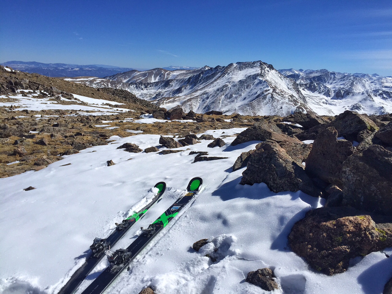
Looking over to Oxford, I was able to ski the windblown ridgeline to put together a line off the top.
Oxford looked bad, but I did see a long line of snow from the top down to the saddle of the ridge, so I knew if I could climb up to Oxford, I would be able to ski back towards Belford and get it done.
The winds began to pick up ever so slightly, but I made good time across the long flat ridge to Oxford’s summit. Looking south Harvard and Columbia Looked very dry.
Barely enough snow to ski off the top of Oxford.
We need more snow! Fortunately I already skied Harvard in Better conditions, but the southern Sawatch peaks that I have remaining definitely concern me.
Looking back to Oxford’s summit and my ski tracks.
After a short rest and some food and drink, I clicked in and skied the ridge back to the saddle towards Belford. I basically went from two of the best skiing peaks of the entire project (Castle and Missouri), to the worst peaks with conditions yet (Belford and Oxford). Honestly, I just wanted to go home at this point. It was a long day, and I did enjoy it a great deal.
The south ridge leading toward Belford was so dry. Fortunately the west face had just enough snow to ski down.
Then I arrived on Belford’s summit and was greeted by a Russian woman named Natalie who had climbed Missouri and had come back across the valley to bag Belford. We both agreed that the ski descent of Missouri was excellent and thought we could probably piece together a reasonable line on Belford’s west side.
Natalie dropping down the west face with Missouri as a nice backdrop.
We skied past some small towers and made the most of some great turns in the warm afternoon sun.
Looking back up Belford while skiing the west face aspects.
Then the fun part was cruising down the basin back towards Missouri Gulch and the trailhead above timberline on fast slopes in the creek bed.
Heading back to timberline, my tracks.
The only thing slowing me down now is that I broke one of my bindings in deep snow in the trees on the way down…luckily I have a bit of time to get if fixed this week as this Colorado storm system moves through, plus it should help with more snow!
As I entered the trees I started to take stock of the project. Feeling amazing so far and off to an excellent start through about the first quarter of this endeavor.
Back to the trailhead in Missouri Gulch before the sun set. A full 11 hour day!
I appreciate the support from many so far. I have had a handful of great partners to join me, and I’m sure there will be more on the horizon. On to the Sangres for a bit next!
Start Time: 430am Reached Summit: 1030am (Hour on the Summit) End Time: 2pm
I had a little Tiger inside me and I let it out with a fun solo day on Princeton in the southern Sawatch. My alarm in Vail went off at 230 am and I was on the road cruising down south in the dark by three after a nice breakfast. Pulling into the Mount Princeton Road I was able to drive about a quarter mile to where the snow started and so I turned around on a flat spot, parked, and was skinning up the road in no time.
In the darkness it was actually quite warm and not very windy at all. The usual magical hour came and went, a decent sunrise, and the lower reaches of the road turned from half melted out to full on snow making for a fun warm-up for the climb.
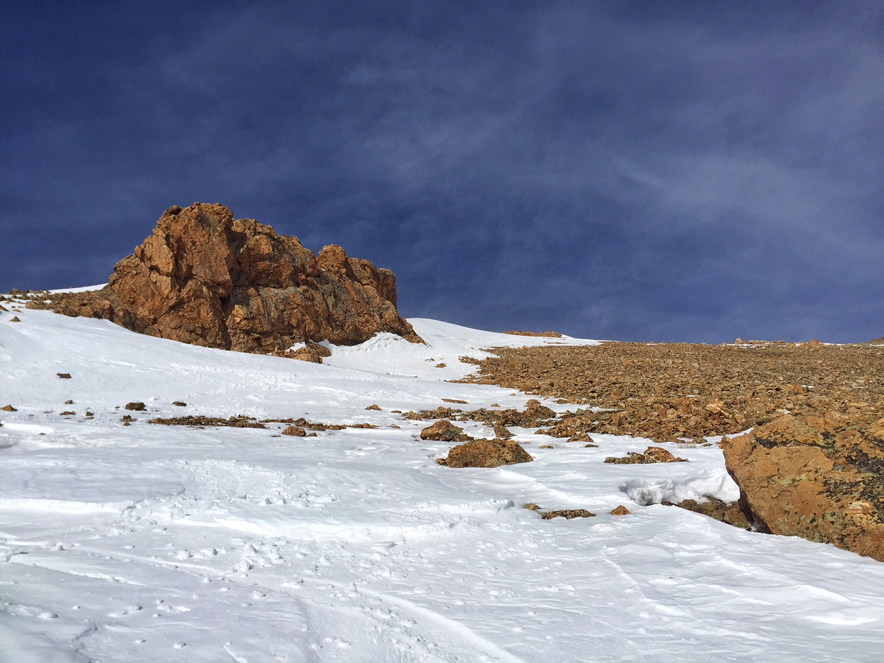
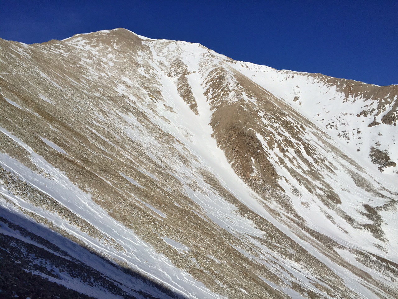
In early dawn light I reached the radio tower at 10,800’ and pushed on. For awhile the winds howled and I wondered if the day would turn out to be another battle in high winds. Near timberline I left the road and followed the summer trail west to get my first look at Princeton.
The east face with just enough coverage.
The morning sun was warm and between 8 and 9 as I climbed toward the peak in the basin and scoped out my ski line, the winds died down and it became quite pleasant! Luckily the peak has some reasonable snow, enough to make something work. Not having to essentially run for my life like last week in the winds, I took a 20 minute snack break about 500 feet from the top, sat and just enjoyed the views. It was so nice!
Before long I got in a good rhythm, up a few portions of snow on the ridge and at 1030am came to the summit wind rock shelters. #11 was a long morning, but I felt great and it was nice to get this one done on nearly a spring day in the Rockies! This was the second time in my career I’ve skied Princeton, and I have been to the summit at least a half dozen times before (1997, 2005, 2009, 2010, 2011, 2013, 2014 & 2016).
Summit Shelter in almost no wind.
Views to Shavano and Antero concerned me a bit. I hope we get some snow on those peaks! (Usually April and May deliver to make them skiable enough) The northern Sawatch has plenty, and so does the Elk Range and San Juans, which I could see plastered in white apart from the nice blue sky. Still plenty of days ahead!
Looking towards Buena Vista at the tip of the line.
After some snacks and photos it was time to ski. I left the summit on Princeton’s eastern and northeastern ridgeline, and fund the top of my line that I had seen on the way up. Besides and few rocks near the top, it was clean all the way into the basin!
I descended and made some nice turns in the softening snow that had been warmed by the bright sun. Near the bottom I crossed paths with some goats who crossed the chute.
Looking down the line halfway down.
Nice creamy turns in the warming sun!
We’ll call it the East “Tiger- Goat” Chute on Princeton! Soon after a short upclimb from Dry Creek Basin I was back on the summer trail that wrapped around “Tigger” peak and back to the road where I was able to ski nearly back to my car by 2pm.
Fun, Fast, and Efficient day in the Mountains for Peak #11 of the project!