Mount Lindsey
Peak #31: Wednesday April 13, 2016
Elevation: 14,042’
Ski Route: Huerfano River to North Face and Northeast Couloir
Roundtrip Mileage and Vertical: 23mi / 5,500′
Ski Partners: Solo Mission
Start Time: 230am
Reached Summit: 1030am (30 mins on the Summit)
End Time: 4pm
After skiing Shavano and Tabeguache, I took a break for lunch in the valley and tinkered around Salida a bit that day. We are in a spring pattern of clear mornings, snow up high in the afternoons, and rain in the valleys. With the forecast set for more of the same the next day, I decided I would head over and further south in Colorado to Mt. Lindsey. Getting Lindsey done would be great because it is so far south (nearly a 5 hour drive from my home in Vail area) and would allow me to have less travel time to the majority of the rest of the peaks in the next 6 weeks.
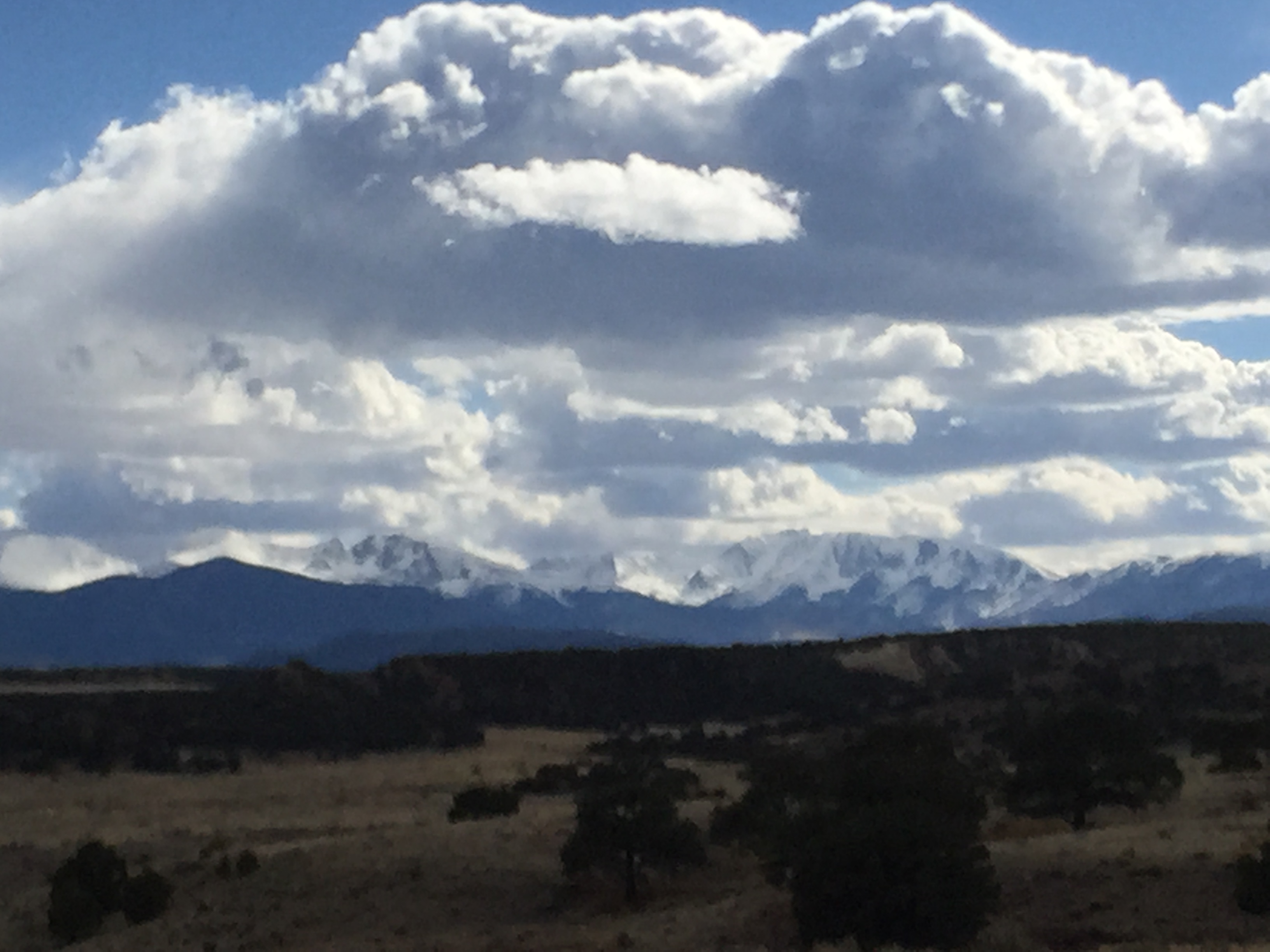
As I drove down to Westcliffe in the Wet Mountain Valley, a huge storm sat over the Sangre de Cristos. “More snow up high” I thought. That would be great. Approaching the Huerfano River Valley that evening from Colorado 69 and Gardner, the southern Sangres began to clear and the mountains were coated with a new blanket of White. “Excellent!” I said to myself in excitement.
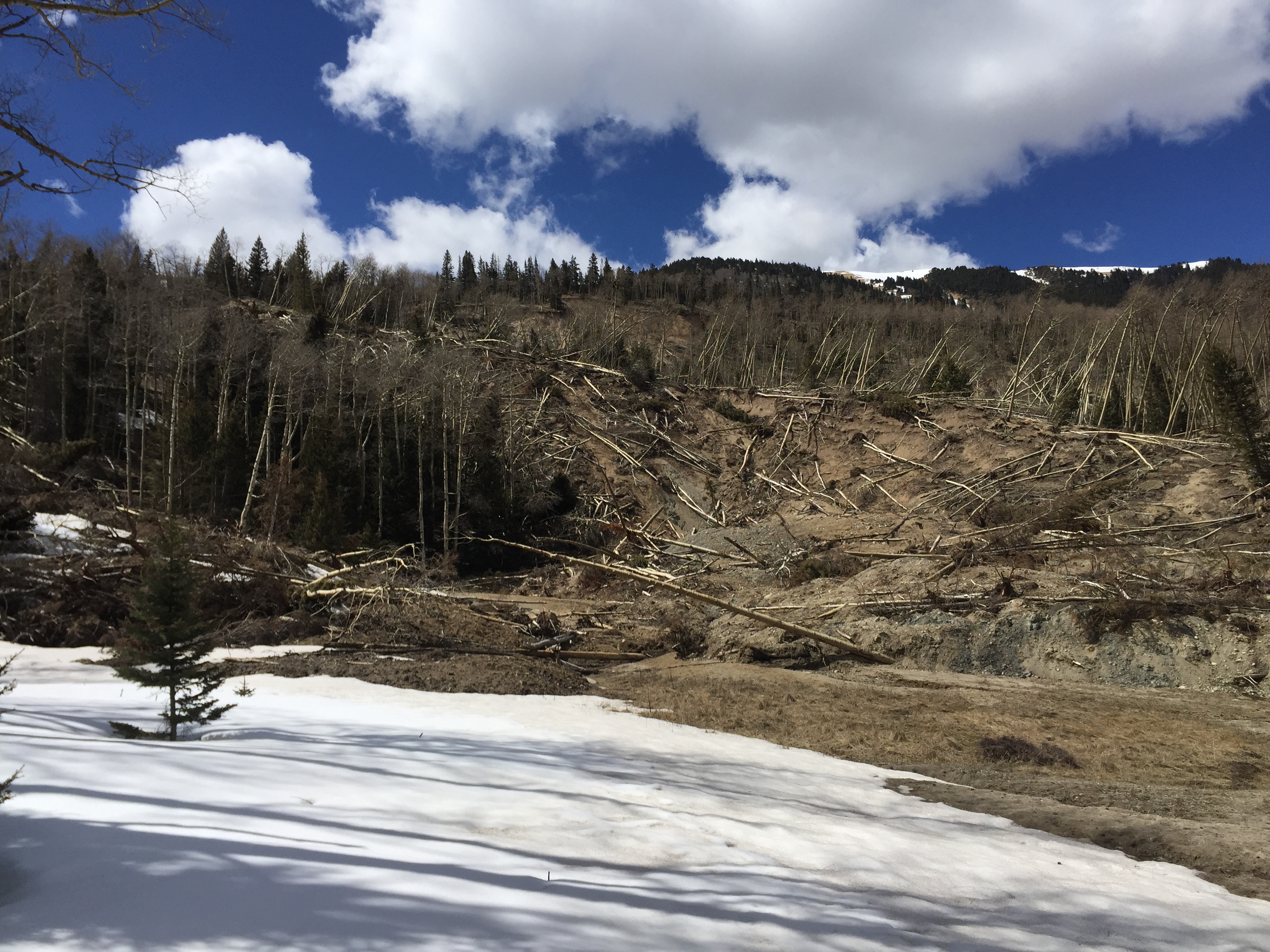
Last summer a massive Landslide closed off the Huerfano River Road and the trailhead to Lily Lake and access to Mt. Lindsey. Two ranches, Spring River, and Aspen River Ranch pretty much rule the road before the National Forest Access, and below the ranches is BLM and State Lands. The road is closed at Aspen River Ranch and the only feasible parking is below Spring River Ranch. I of course found this out when I arrived to find a closed road and a gate and large No Parking signs. Abiding by the rules in place thus far, I parked for the night much further down the road. This would make for about a 23 mile round trip day, so I went to bed basically as soon as I parked at 8pm.
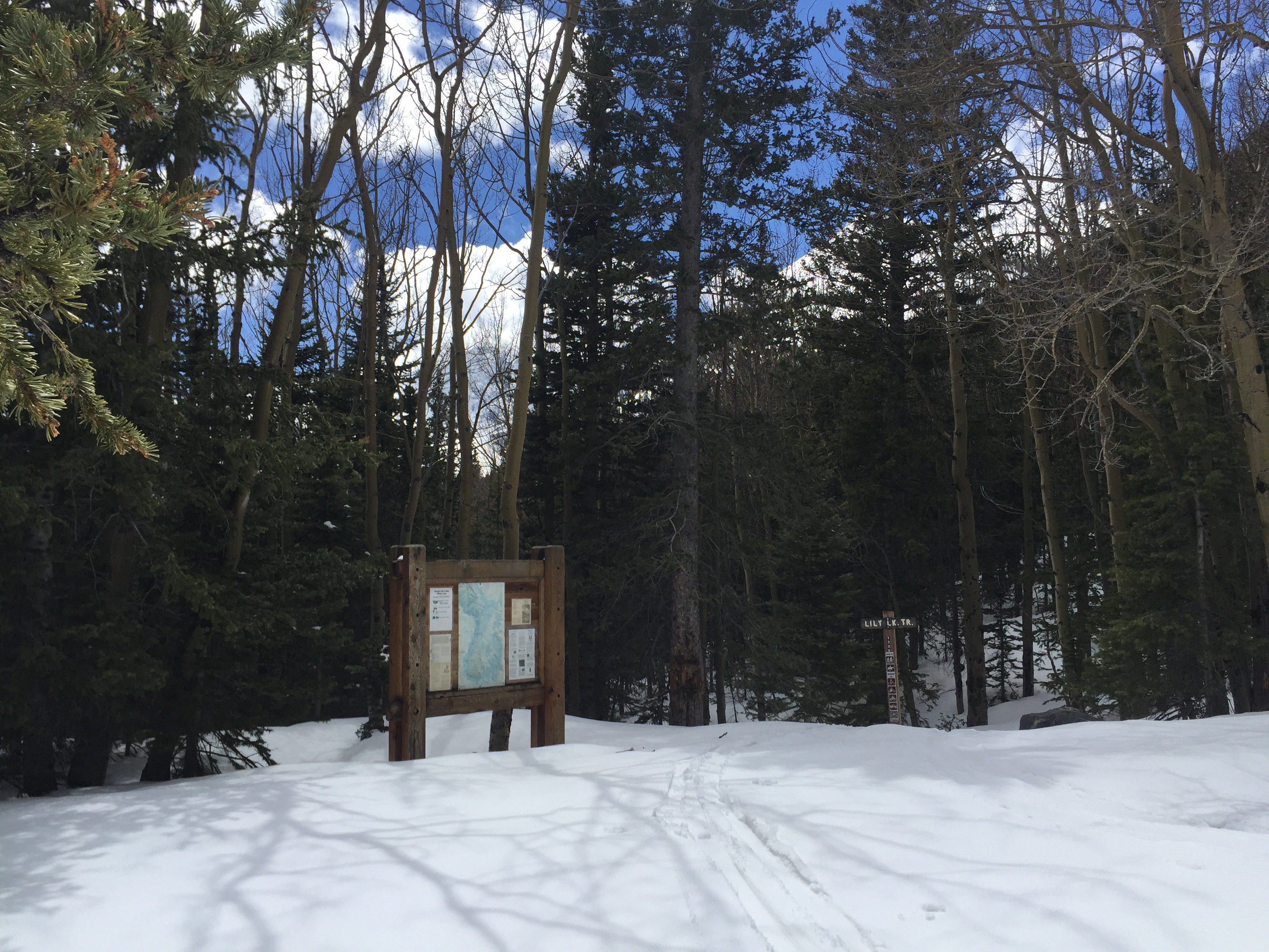
Signage along the road 580 in the dark.
Rising at 2, I left promptly at 230 and marched up the road. Passing the ranches, the closure gate and beyond I strolled in the dark with bright stars out to light my way. About 4 miles in at a daytime viewpoint of the Blanca Massif, the road started to get snowy just a bit. Then I came across the Landslide. Since it was dark I wasn’t aware that the bottom end of the landslide was the easiest way to get past the debris and mud and toppled trees, so I ended up wasting almost an hour climbing over trees, under bushes, and around massive mud flows. By 430 just when I was about to give up I made it back down to the other side of the landslide flow and to the road that emerged on the far end. What a relief. I put my skis on. Left my boots behind and skinned up the road.
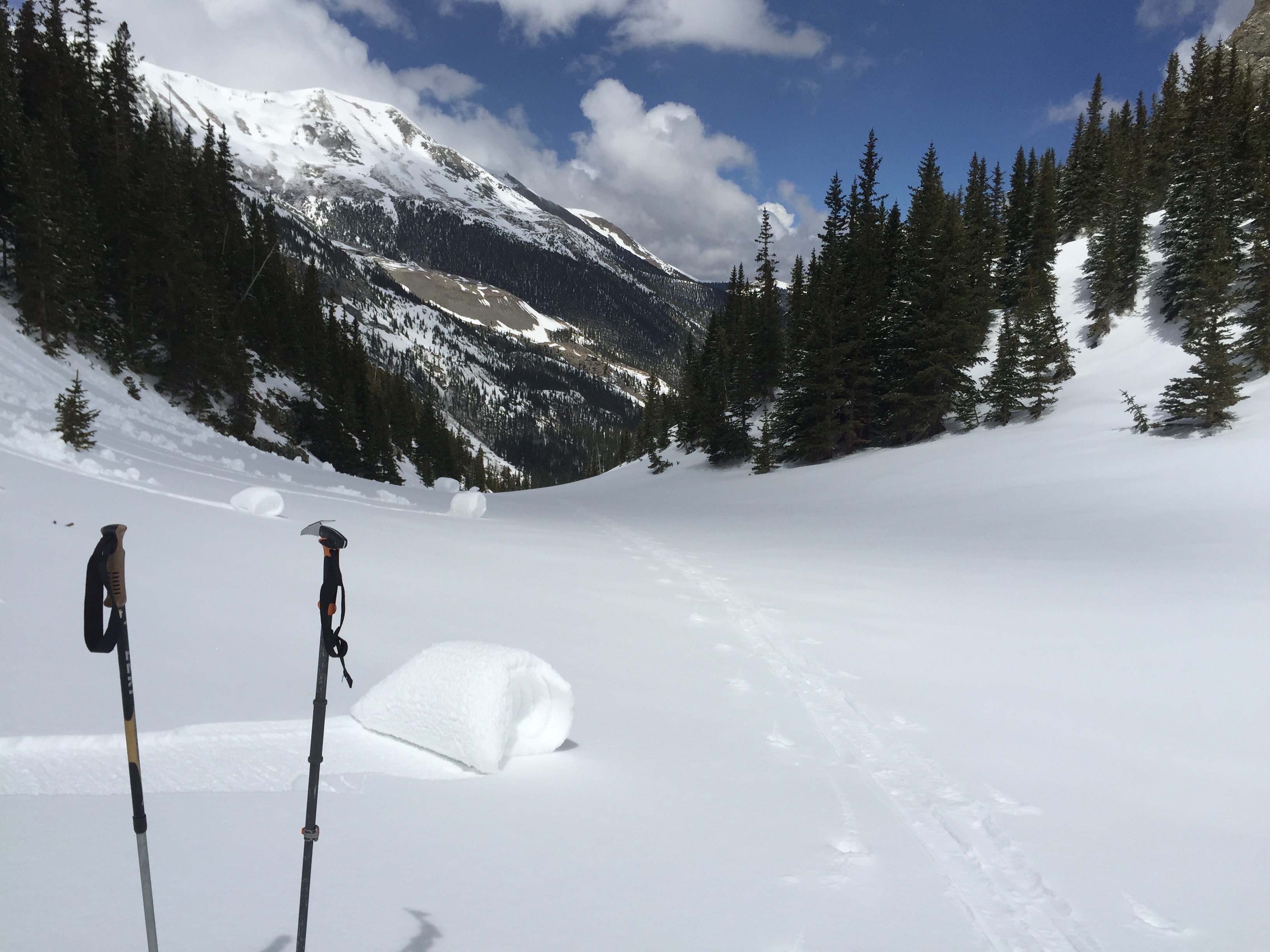
In another hour I reached the summer trailhead for Lily Lake. It was just barely getting light when I emerged into a meadow a short distance beyond where the road ends.
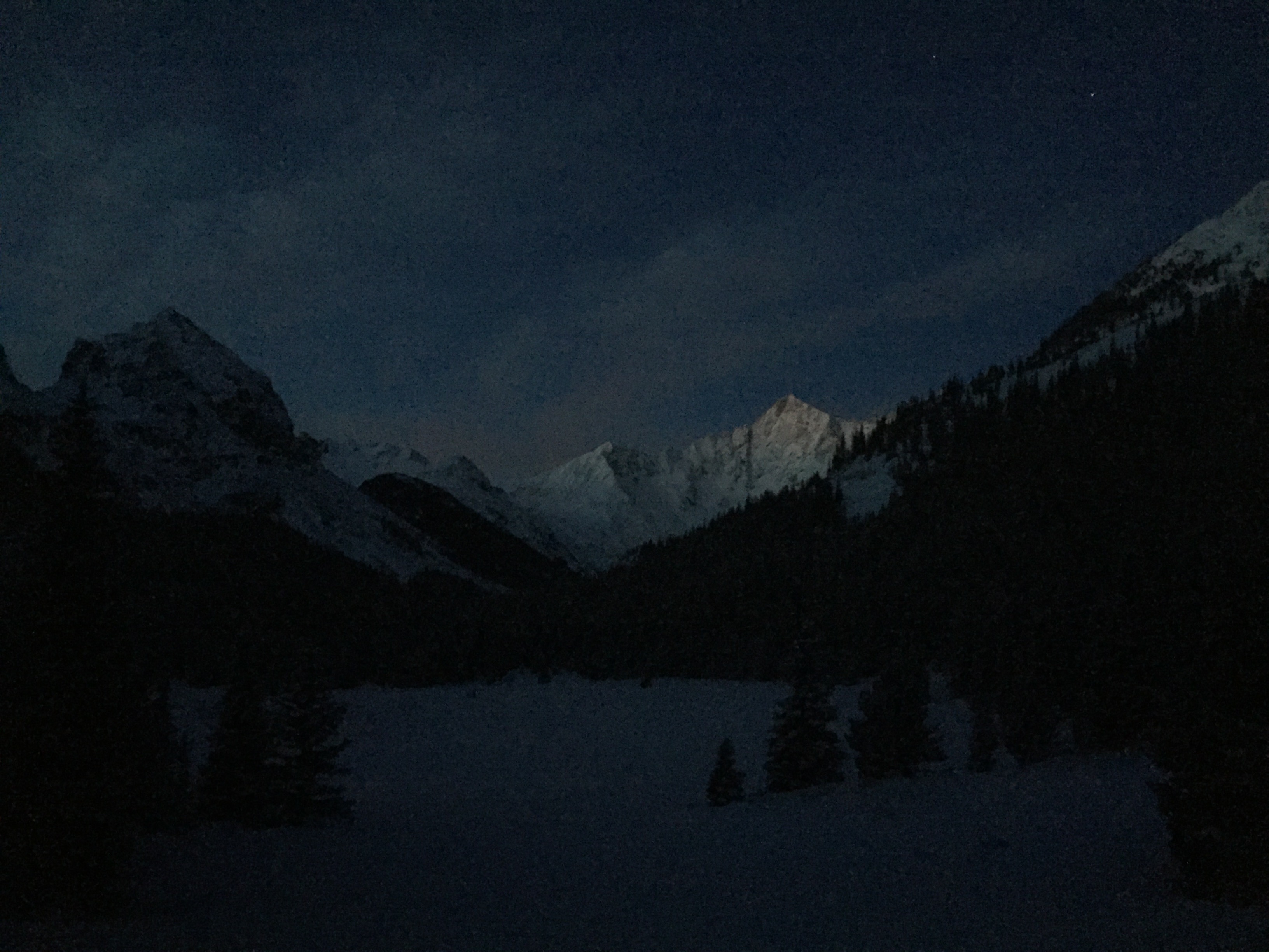
The morning dawn on the Blanca massif was stellar.
I slogged along the valley floor until almost 630, then began my climb to the south up a prominent creek basin and relatively narrow low angle avalanche chute which gained elevation and emerged above the timberline.
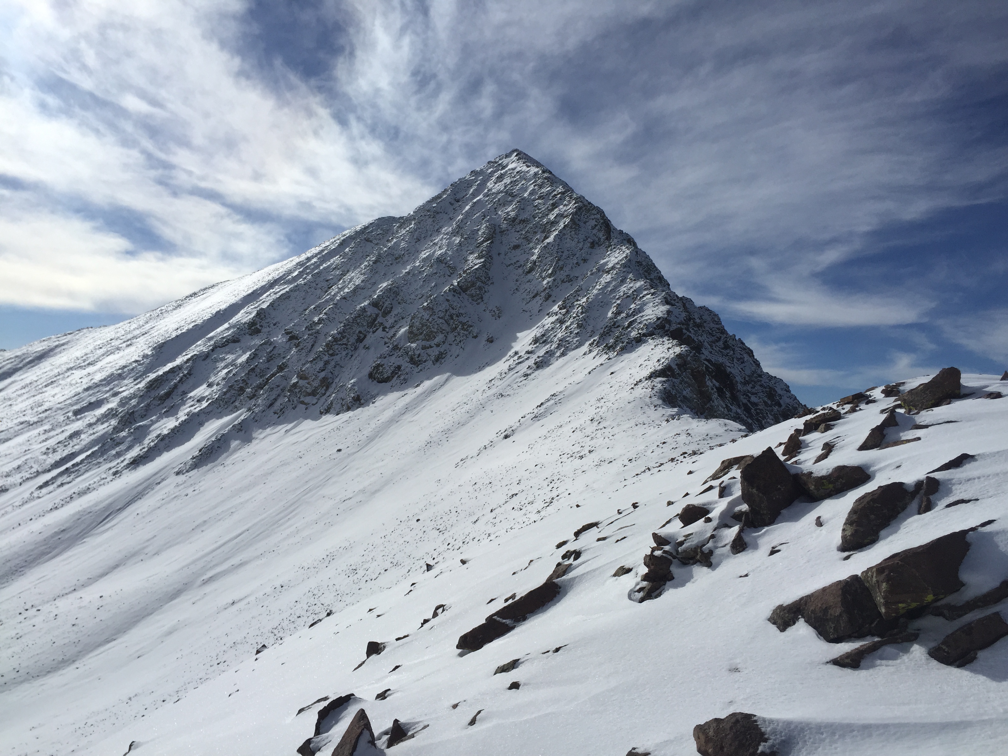
Lindsey poking out up to the left.
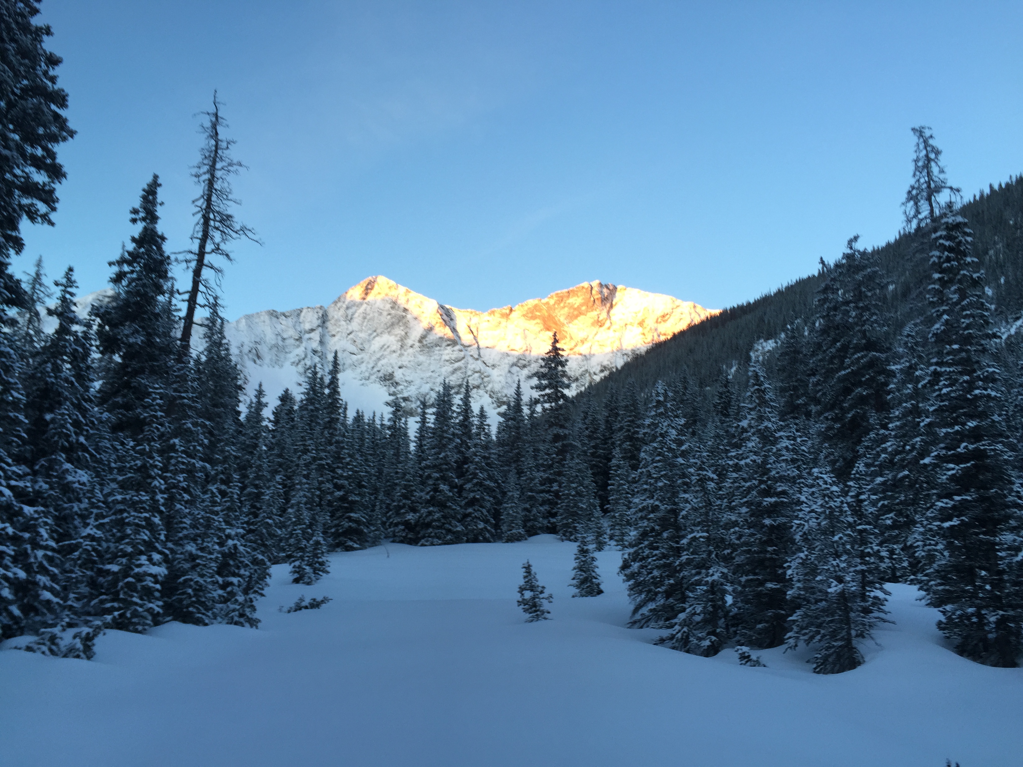
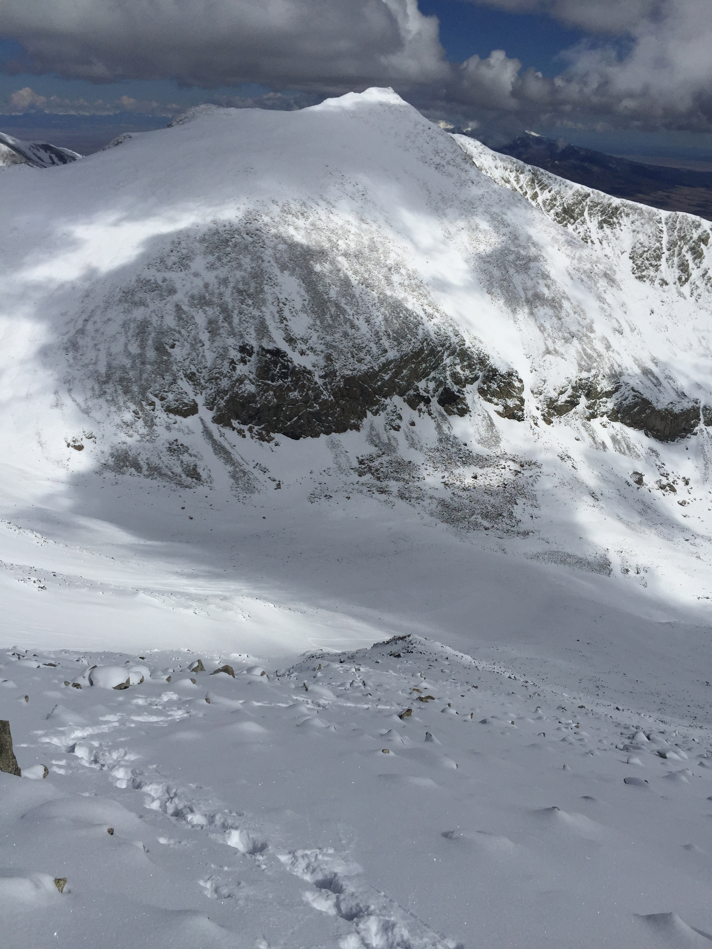
By 730 I got my first glimpse of Lindsey, poking above a ridge to my southeast. Lots of fresh snow made trailbreaking a task, but I also knew that this meant powder and pretty good coverage on Lindsey, which had been bare most of the winter.
Looking back down and across to Blanca and Ellingwood. Fresh powder on a bluebird morning!
(I had seen Lindsey from Blanca’s summit in early March, and at that time it was unskiable, Mother Nature had done its work on the peak now!)
I traversed left here and around the peak.
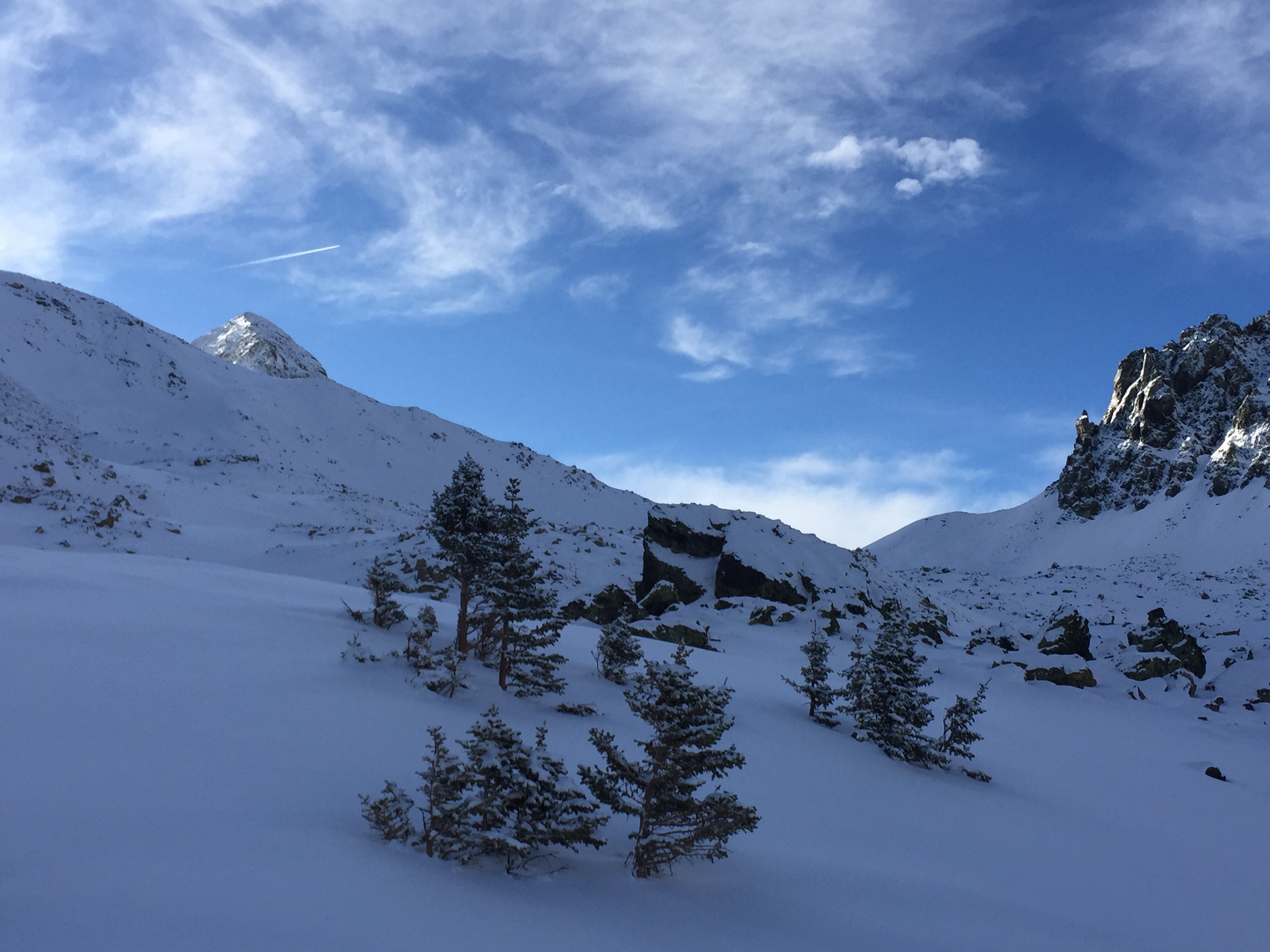
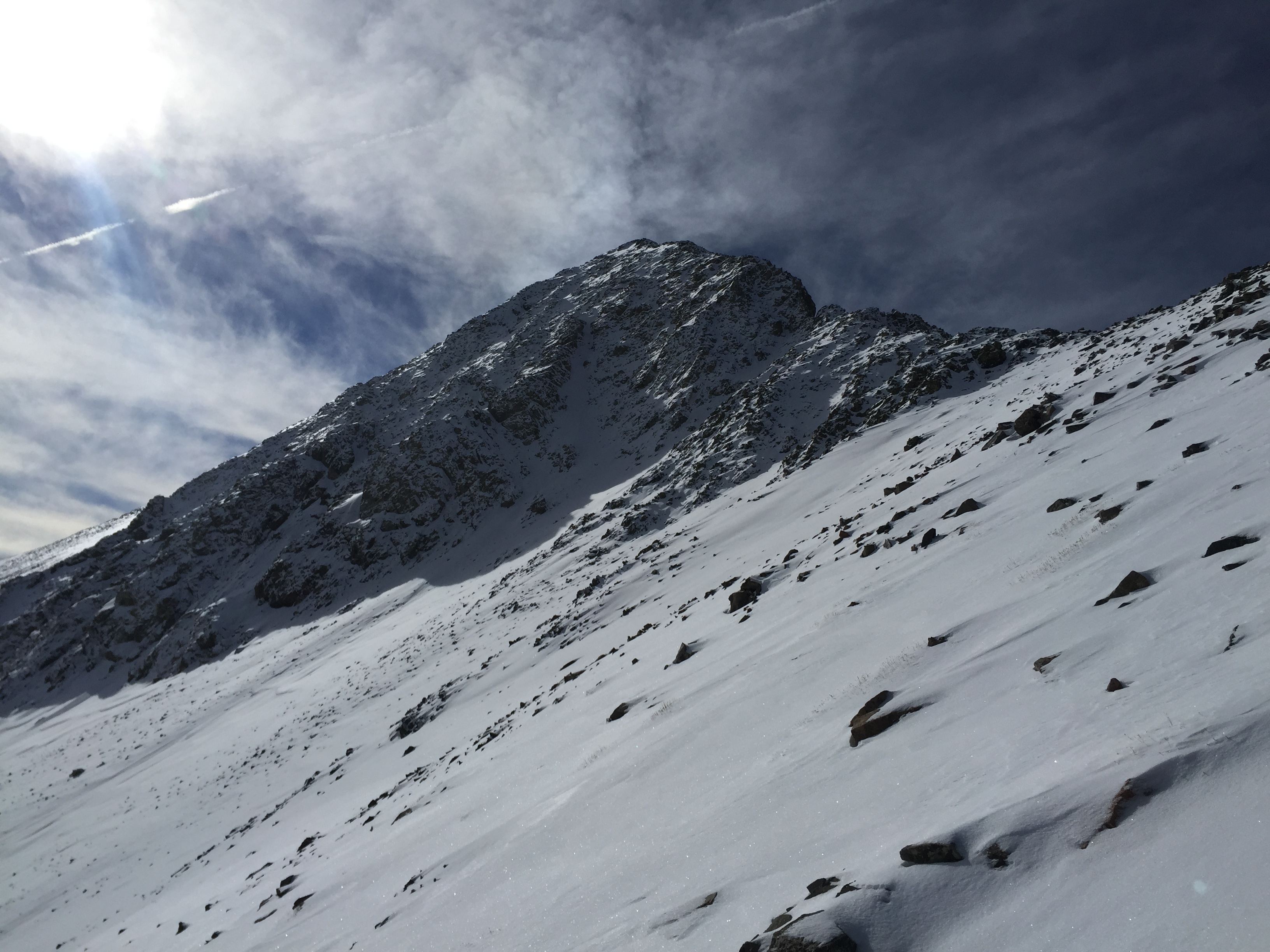
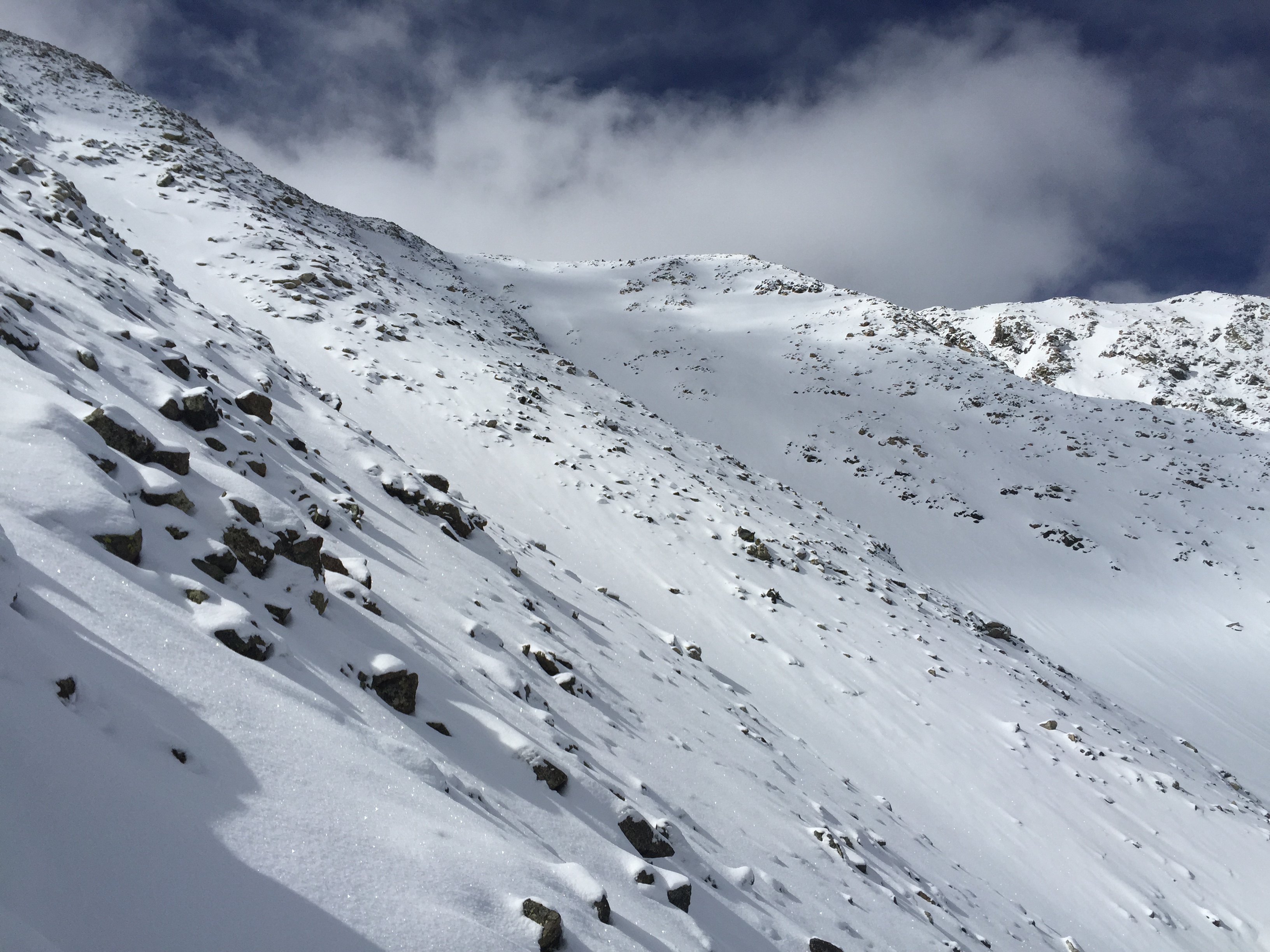
For another hour or so I labored to gain the saddle at about 13,200’ between Huerfano Peak to the north and Lindsey to my south. This was my first up close and personal look at the peak, and from here it looked dangerous.
The north to northwest facing narrow couloir that is the standard route on this peak was filled with fresh snow from the recent storm. Following the ridge towards the face for a short distance before the route got steep I was skinning into 1 to 2 feet of powder. The line was not consolidated what-so-ever.
Looking back at my tracks as I traversed around to the northeast side of the peak.
I pondered my options, and I even thought about turning around. But only for a moment. I had pushed over 10 miles to just get to this point. There was no way I was going back now. It was early and I had some time.
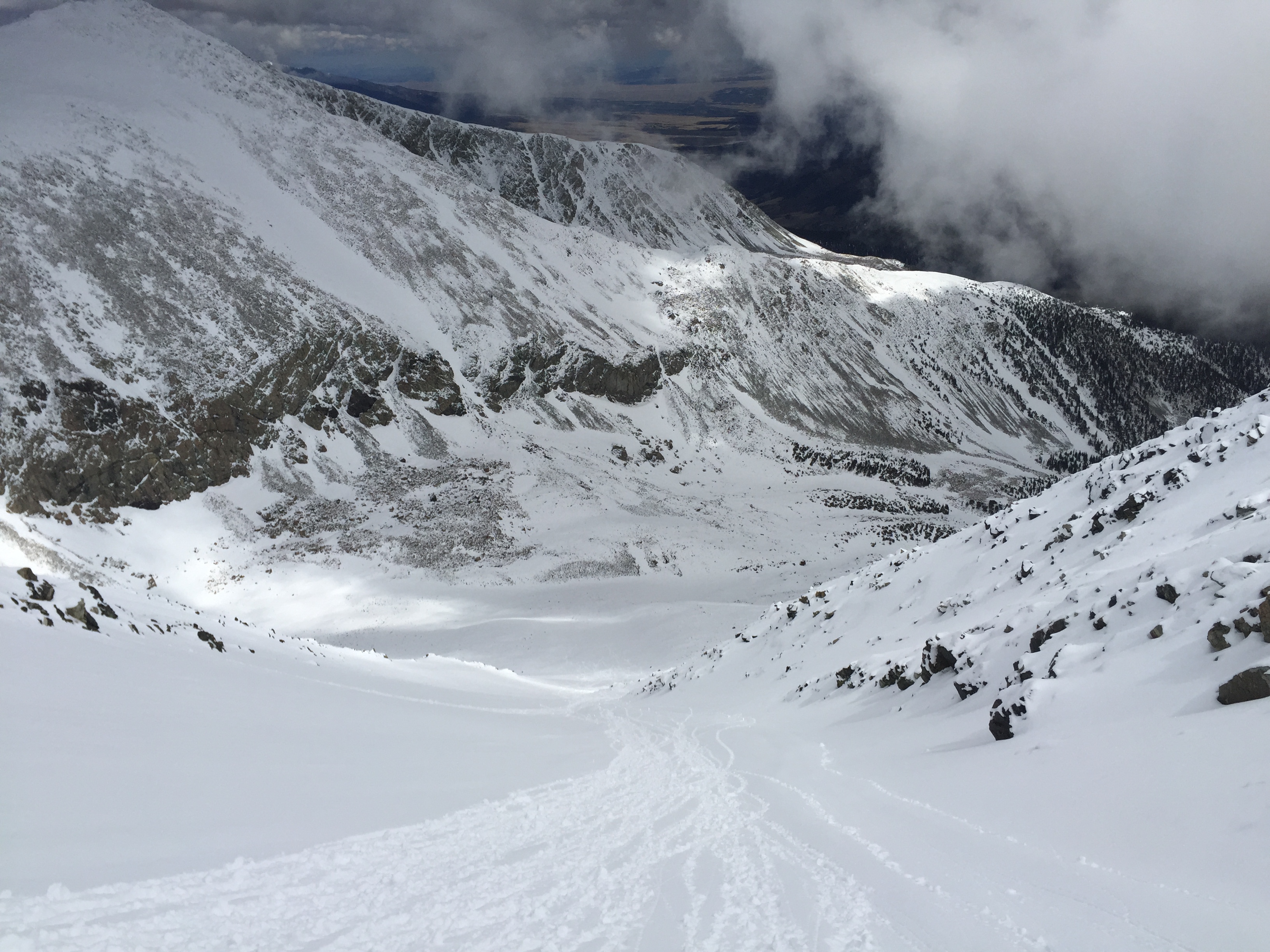
Taking advantage of the snow coverage, I traversed east along the north face of the mountain to easier terrain in the basin. The fresh snow was likely the first major coat of the year in this area, so even when I sank up to a foot, I was hitting rocks.
Looking up the northeast gully.
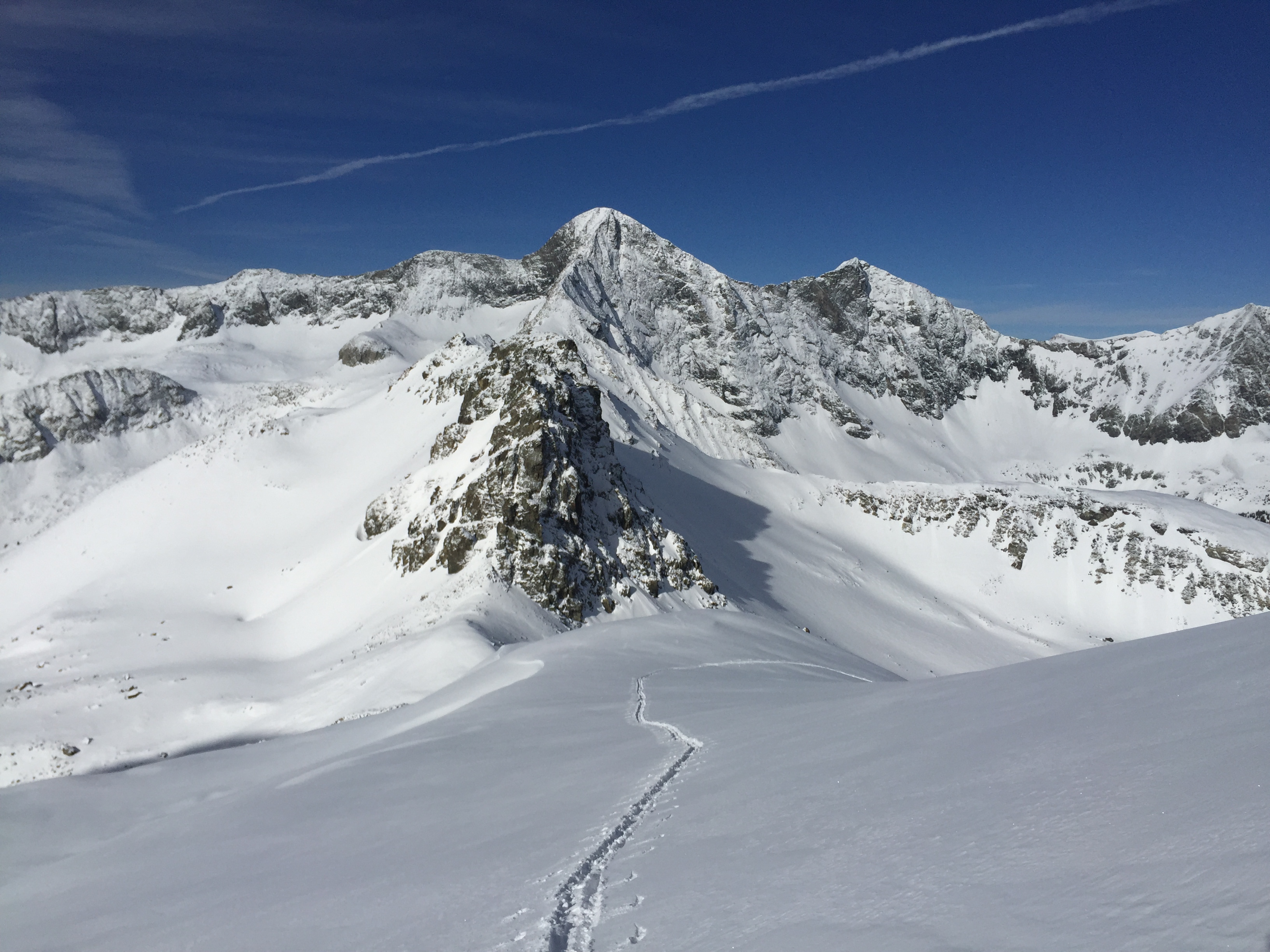
I carefully made my way to the east and around the peak’s north side until I was staring up to the direct summit up the prominent North/Northeast couloir.
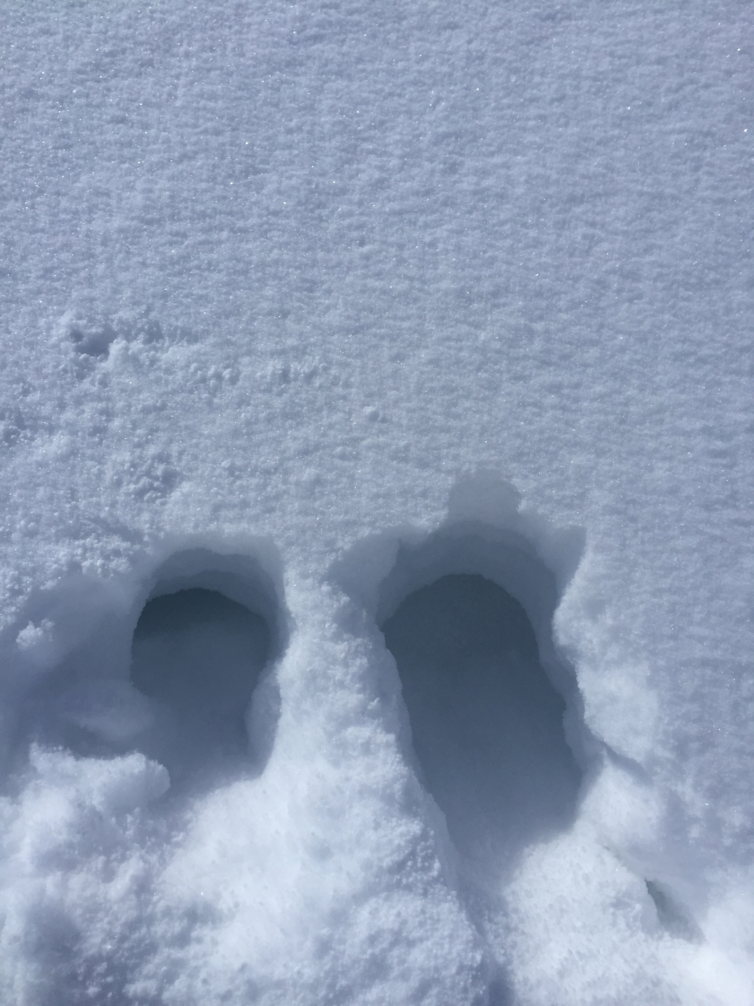
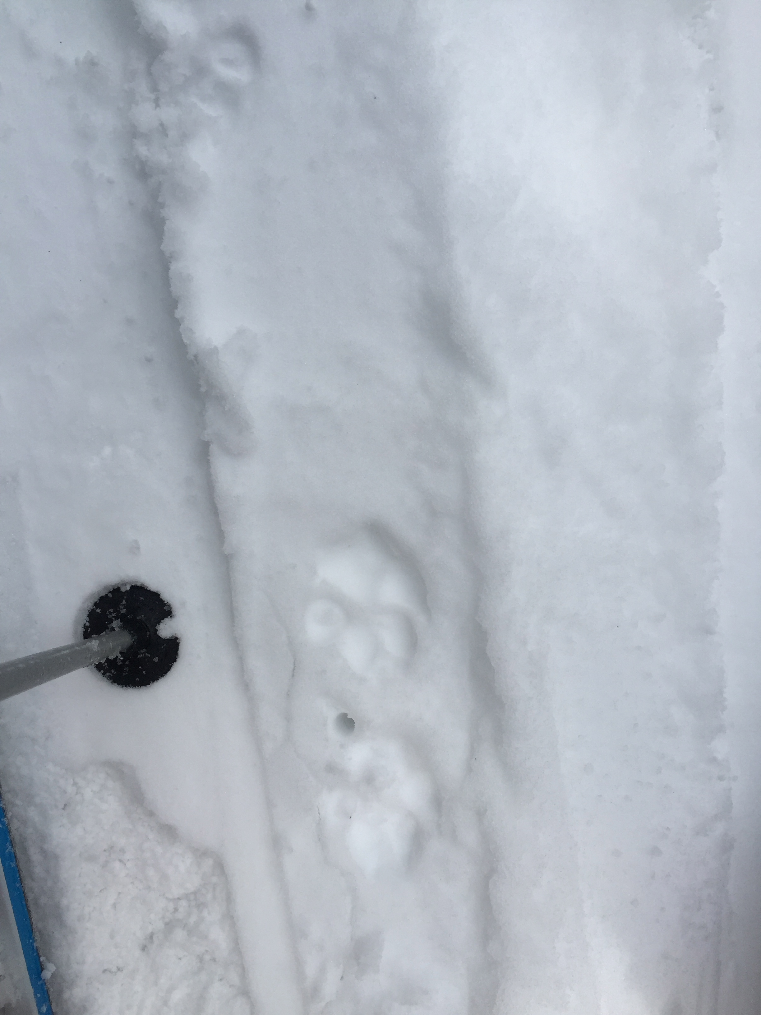
Dipping Dots are always good at amusement parks, but not on big mountain peaks.
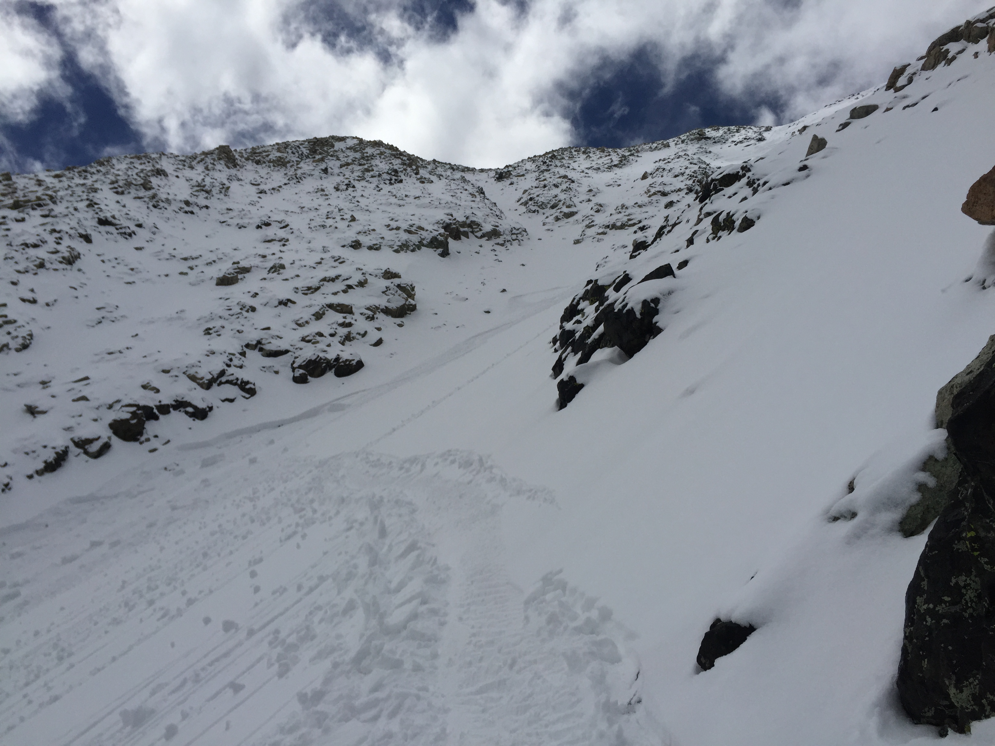
I transitioned and began booting up the relatively moderate chute, which has a choke about ¾ of the way to the top. After a hundred yards, red flags: I was sinking and punching unto a layer under the foot of powder that was entirely pea sized “Dipping Dots” Hail. I already knew there was no way I could go up this chute. I would be exposed in there for too long, and I would be in danger of triggering something from above that would come down on me. The couloir didn’t look too steep or dangerous to ski down and manage the risk on descent, but to climb up it was a bad idea.
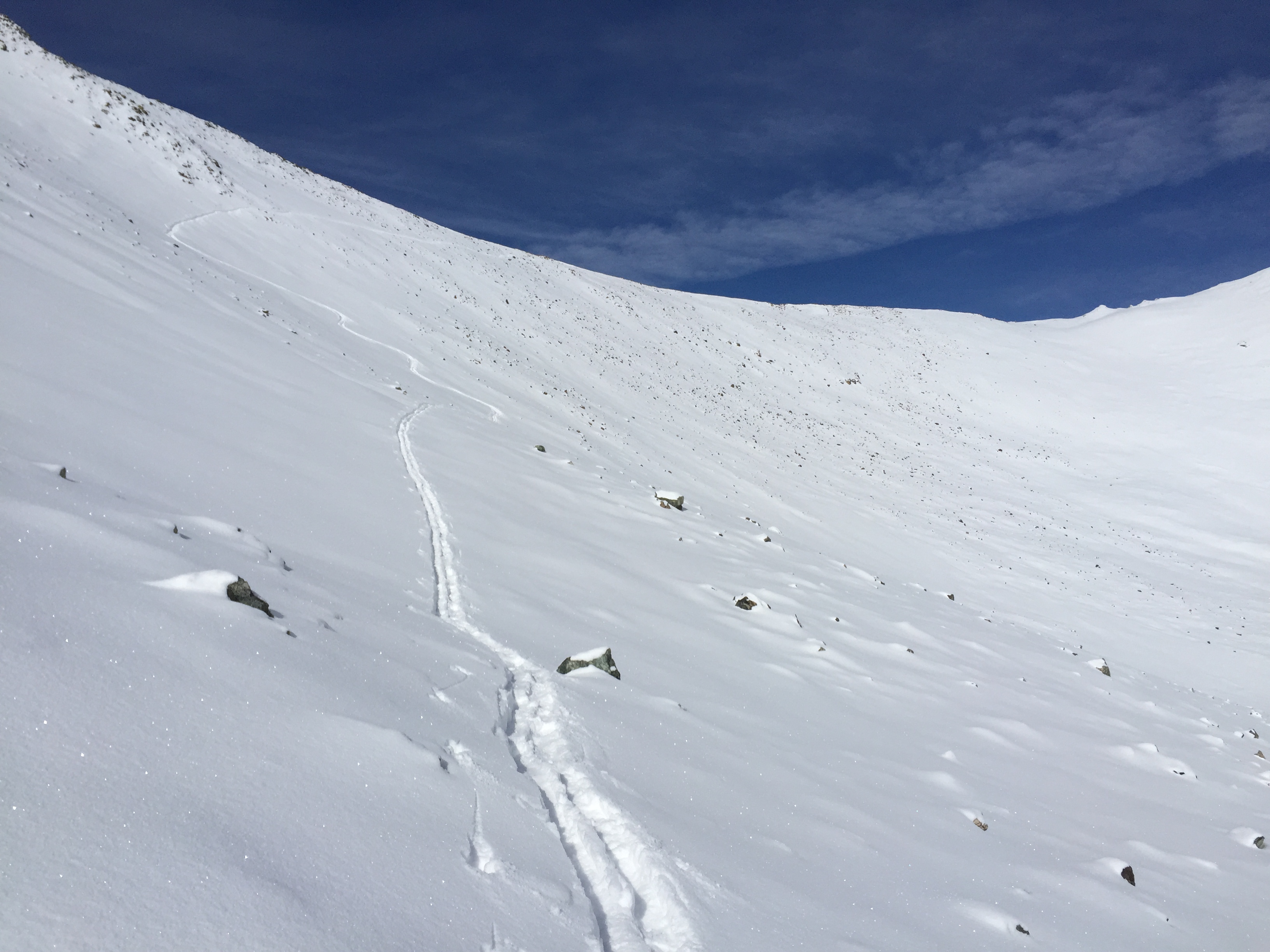
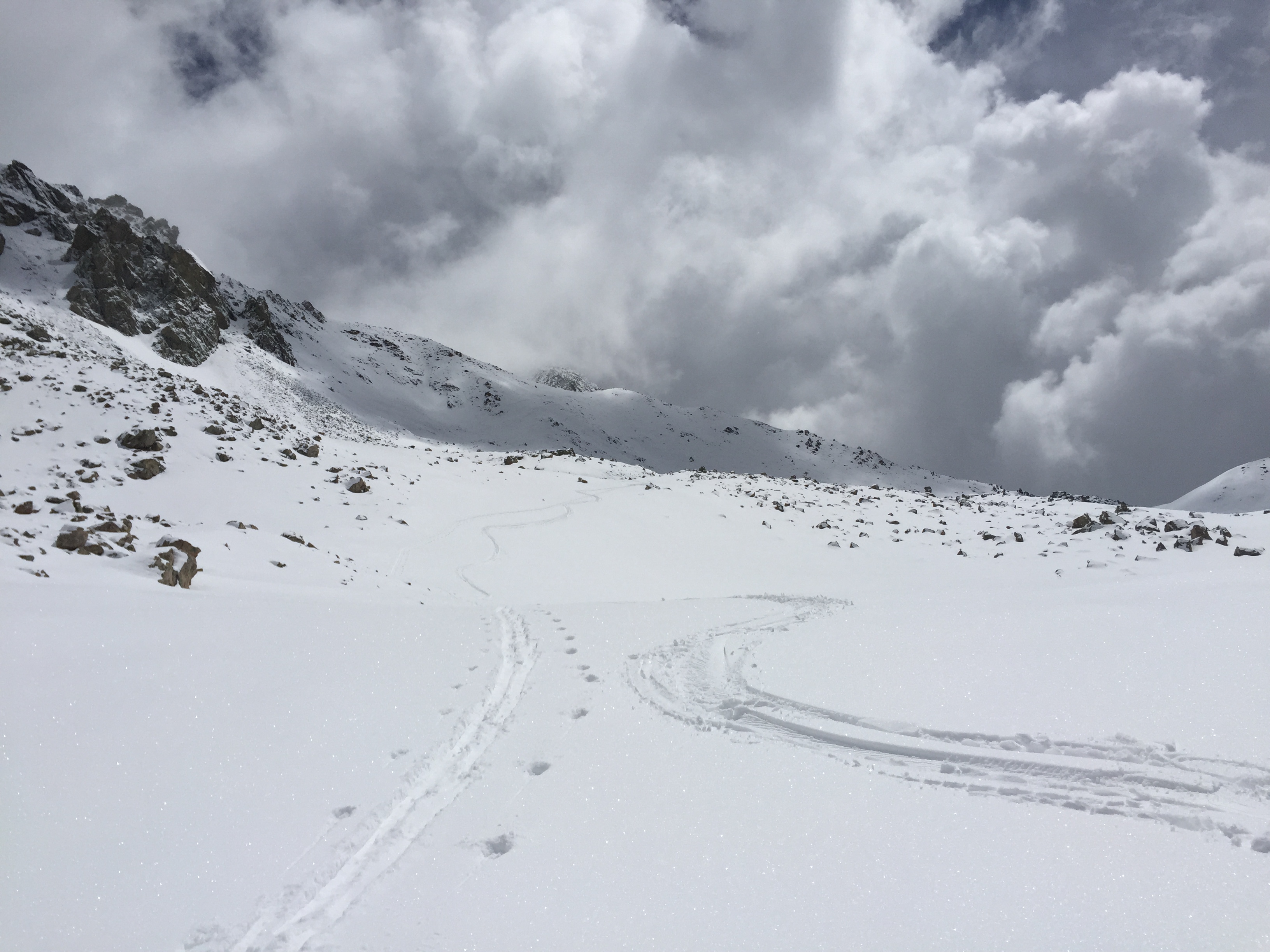
Looking down on my tracks you can see I was safely out of the couloir by now and headed towards the top.
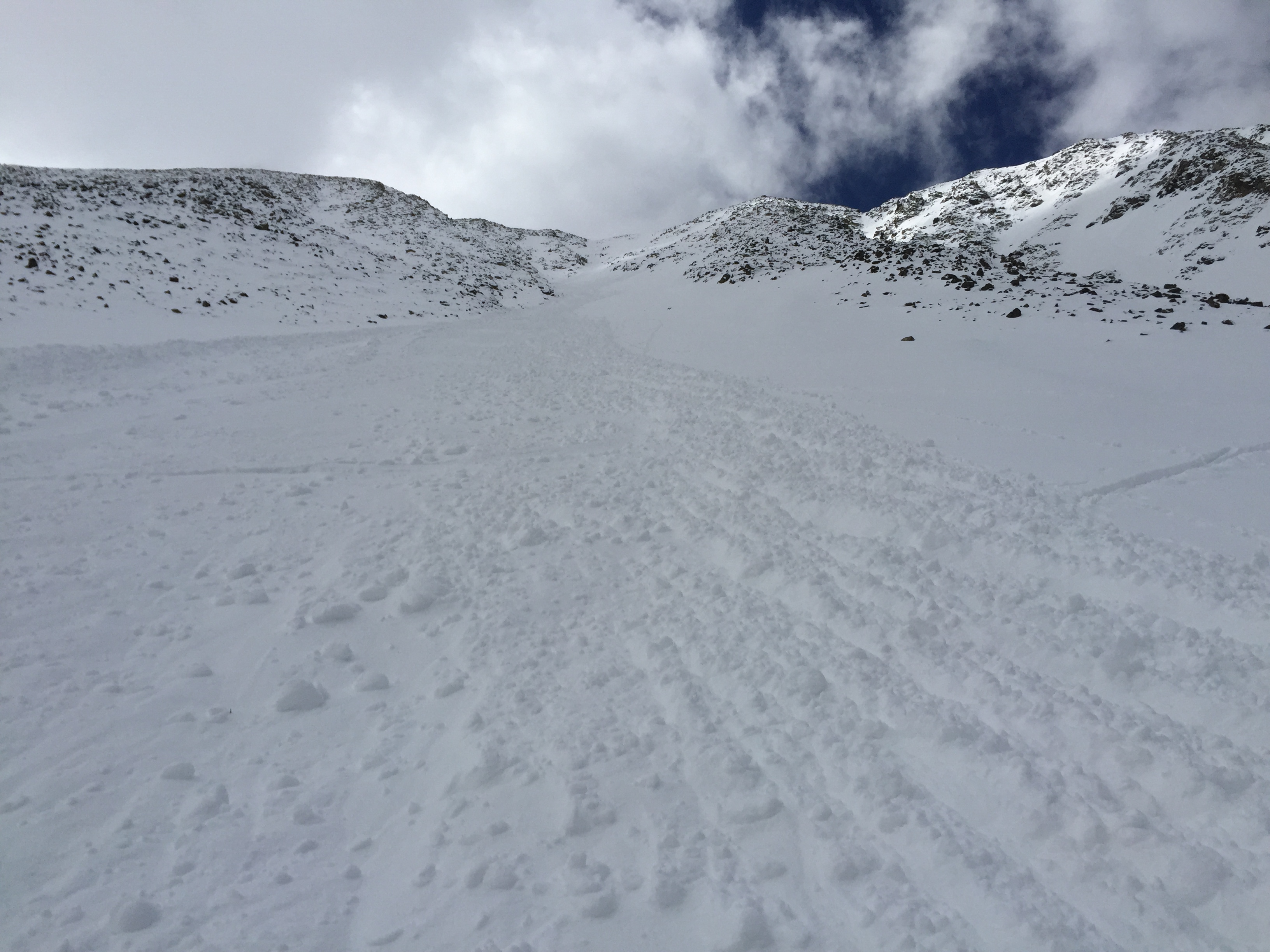
Instead, at 930 I angled left and onto a rock rib, and a bit of a broad buttress that took me for almost 1,000’ to the summit ridge. This was the most difficult part of the climb. This last section took me nearly an hour to complete. I was basically swimming in almost 2 feet of powder that was not even close to consolidated.
Getting there!
At times the rocks underneath would shift on me too, or I couldn’t find a good place to step. This struggle went on forever. In the meantime, the clock was ticking. There was no wind, the sun was out, but clouds, fog and mountain mist was building all around me. The sun’s warmth was really starting to worry me, I needed to get to the summit soon, and in my mind it wasn’t feeling soon enough.
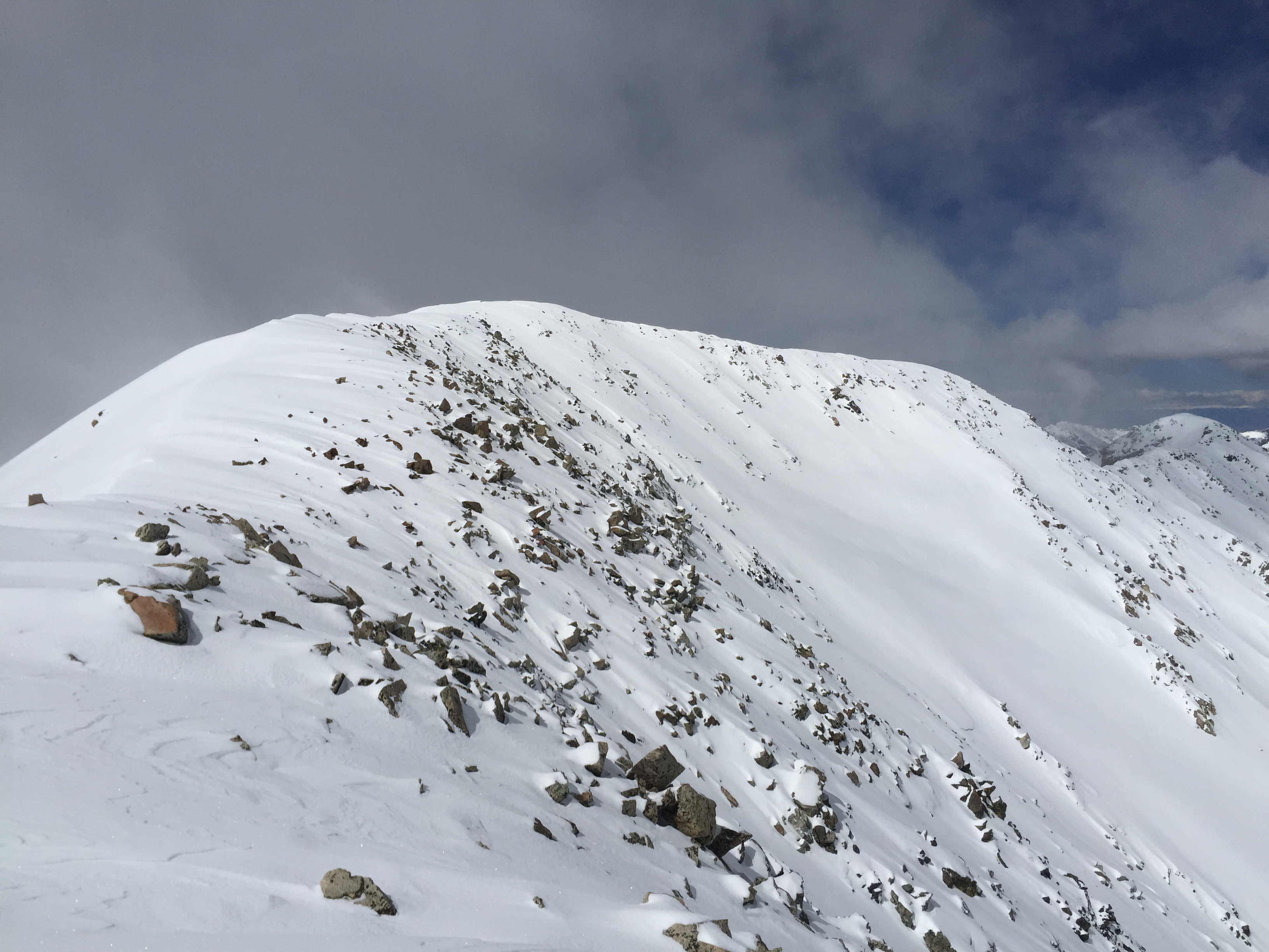
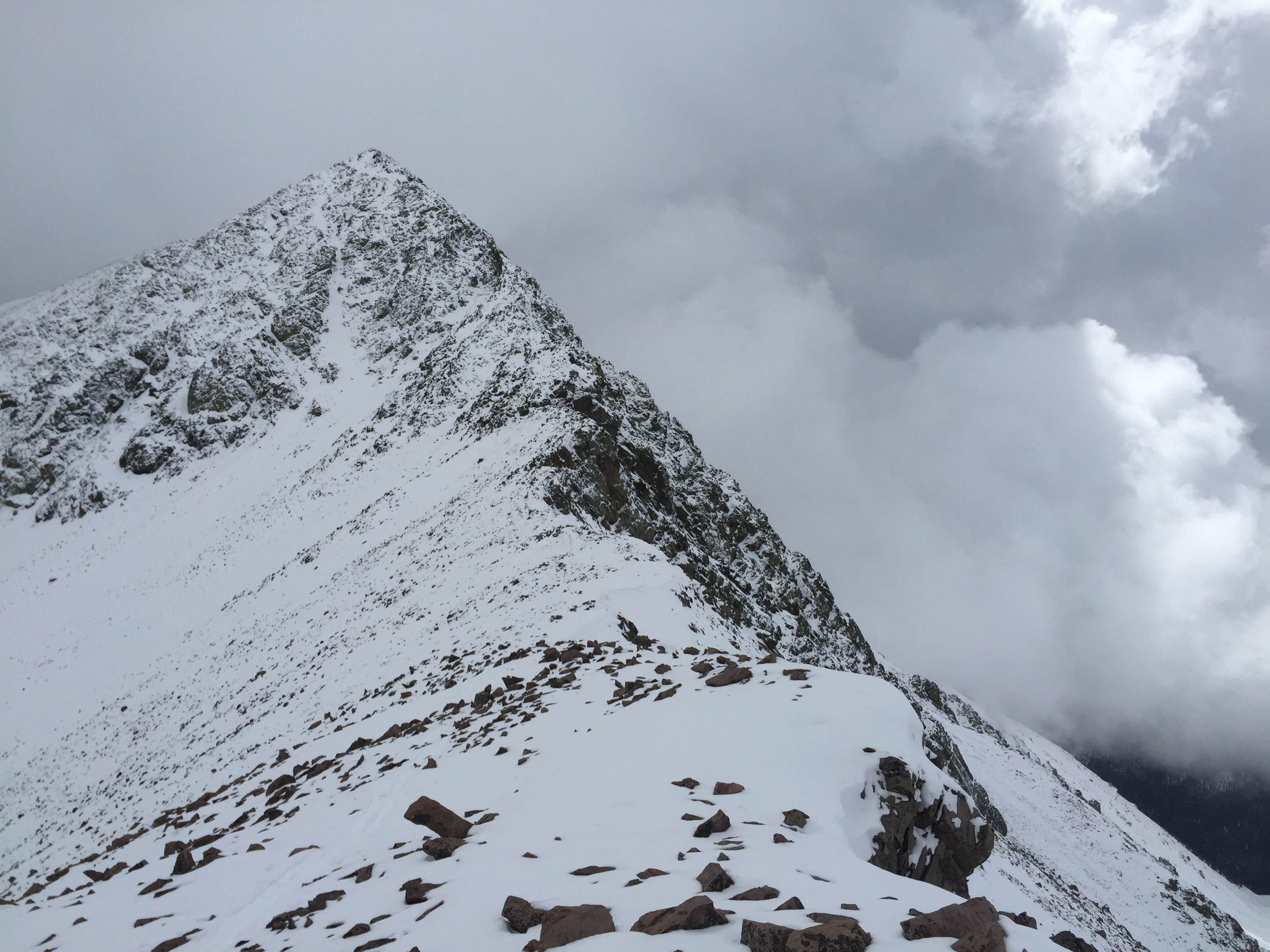
There’s the top, now by way of the east ridge.
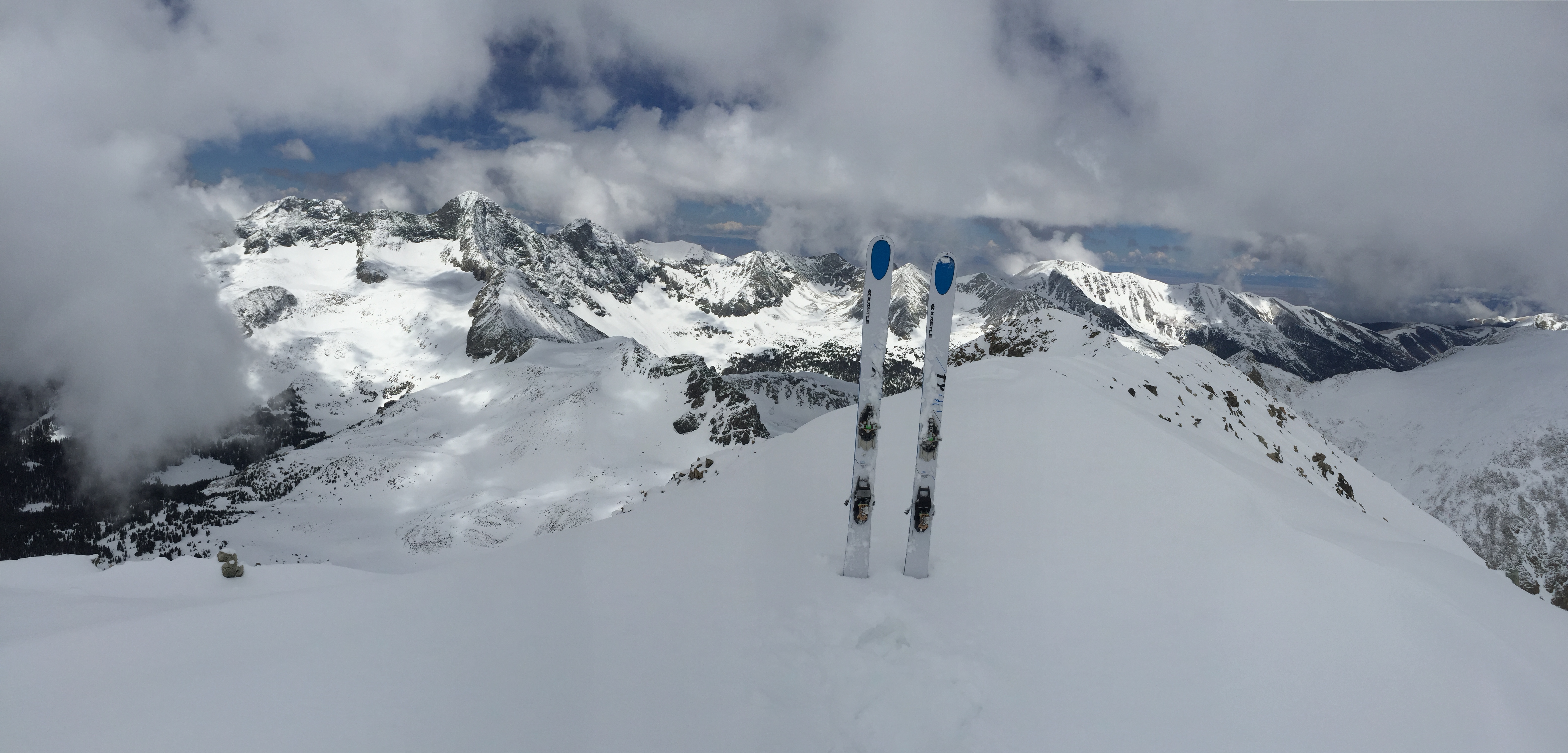
At last I came out onto the summit ridge. It was finally only a simple 75 yard walk to the top, breaking trail in 2 feet of powder to reach the summit victorious. Peak #31 was hard earned, and I still had to get down.
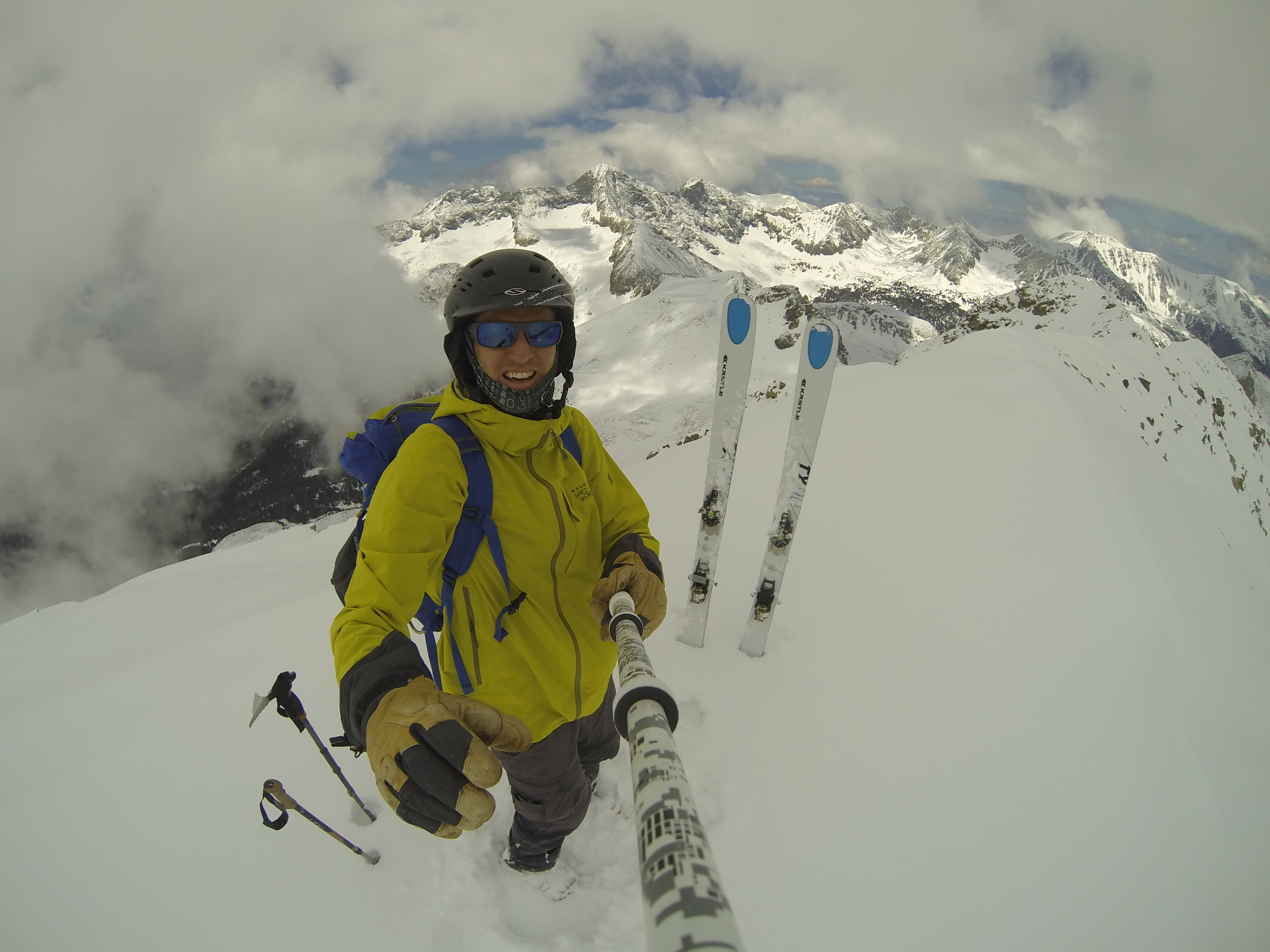
Summit, 14,042′ in complete powder.
I summited a bit before 11. I hustled and transitioned. I ate, drank, shot some photos, pinged my SPOT beacon, and too some video. I also was happy that the view was clear enough to see some of the peaks, though you almost felt like you shouldn’t be up there.
Simply awesome in no wind.
It was getting almost too warm. I only had two options: I could opt to not ski the couloir that I decided not to climb, or I could just jump in and make some ski cuts and manage the risk. I decided on the latter.
Looks delicious, a bit of sluff but prime.
After-all, I didn’t come up here to backtrack some nasty powder and rock on my boots. Even if the couloir was a challenge, it would be easy to get down it as long as I skied carefully and used my knowledge in there.
getting into the Northeast couloir.
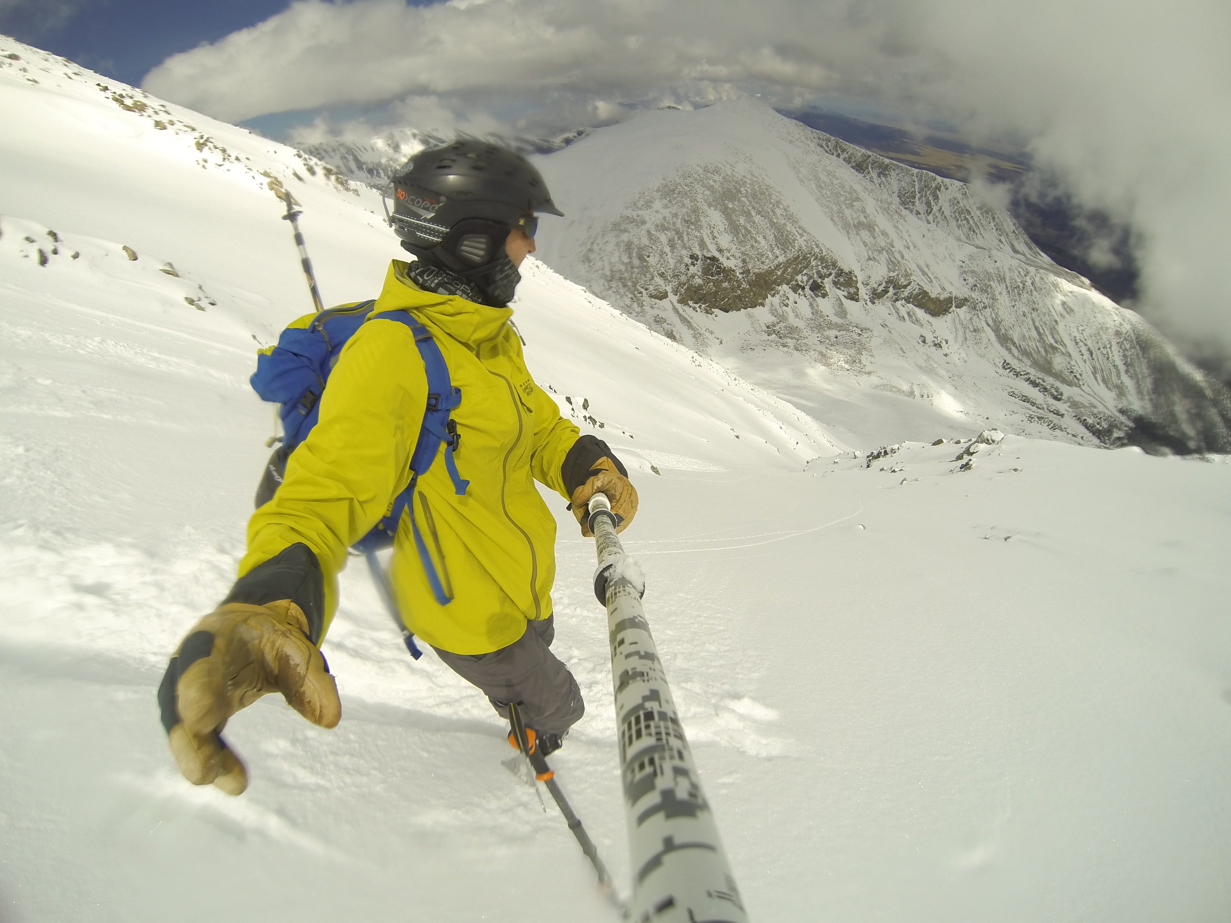
I turned on my camera and headed down. The start of the couloir was simple. A couple of turns I cut and actually hit some rocks. But I must say this recent storm really helped a lot to make this skiable. Even the north facing aspect was getting really warm. I sluffed some snow down the chute, would stop in a safe place and the continued down.
Nice turns up top and some ski cuts to keep it safe.
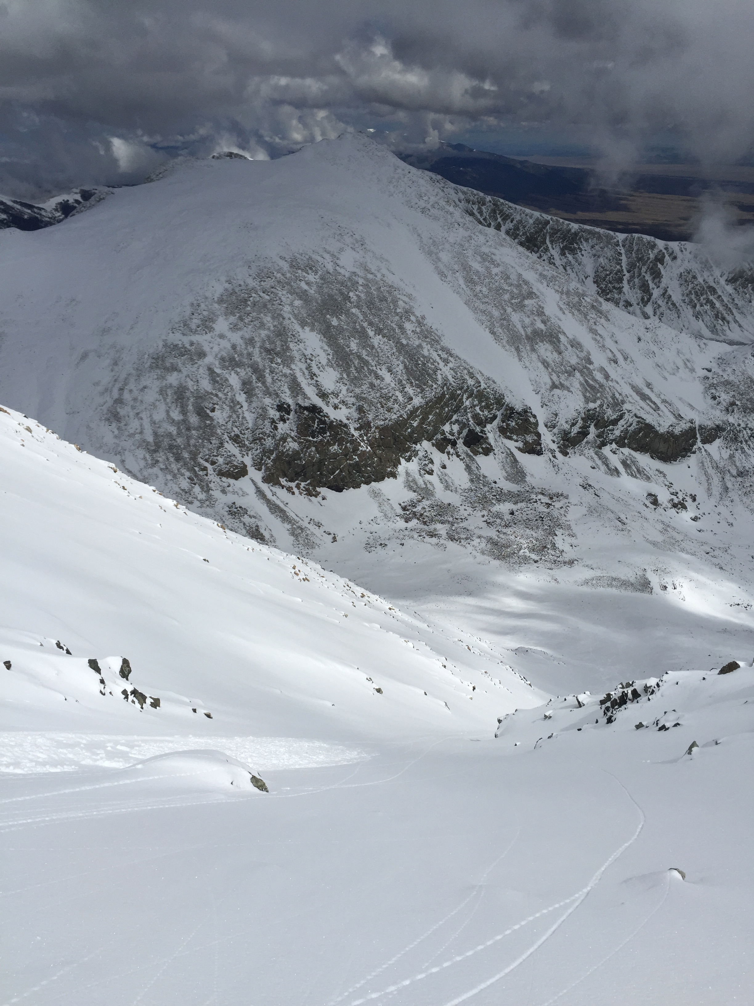
I skied the narrow choke safely and stopped at one more rocky overhang, out of the way of anything from above. Catching my breath I paused and saw that the lower reaches of the chute looked excellent, albeit a bit crowned over.
Getting ready to open it up in the broad gully lower down.
I was only about 150 yards above where I had stopped climbing up and had climbed east to get on the broad shoulder of the face on my ascent. No worries, it wasn’t too steep now (maybe 28-30 degrees at the most) and if I skied fast now I could really open it up and get down and out.
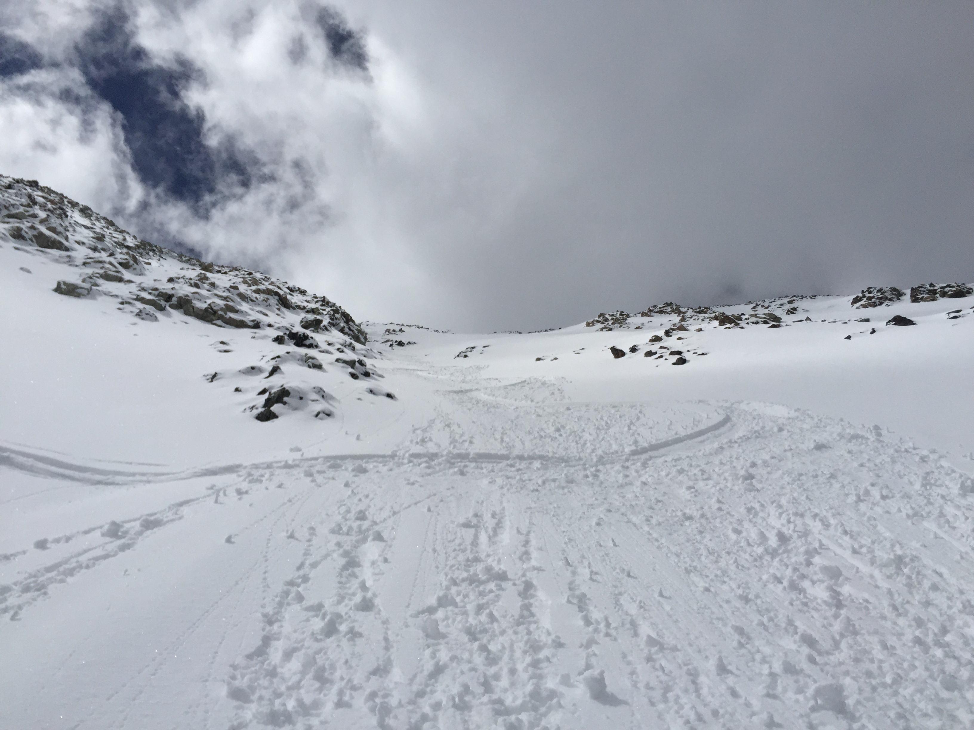
Obvious fracture.
I began cutting some turns and on my third turn or so I heard a ‘whumph’ on my turn that I cut and started seeing a fracture in front of me. I immediately made a sharp turn to the left and got out of the way. I stopped below some rocks and watched the rest of the chute below me break and start taking off down the mountain. Wow! (See the video below).
After about a minute, I carefully skied into the area that had slid, I proceeded down to the base where the snow stopped and I took a look at the snow to see what I could learn.
Looking back up the slide path before making a quick exit.
The portions that broke were all on top of that hail and the pellets I had discovered earlier. I was so fortunate to have made the right decision when I was climbing up a couple of hours before!
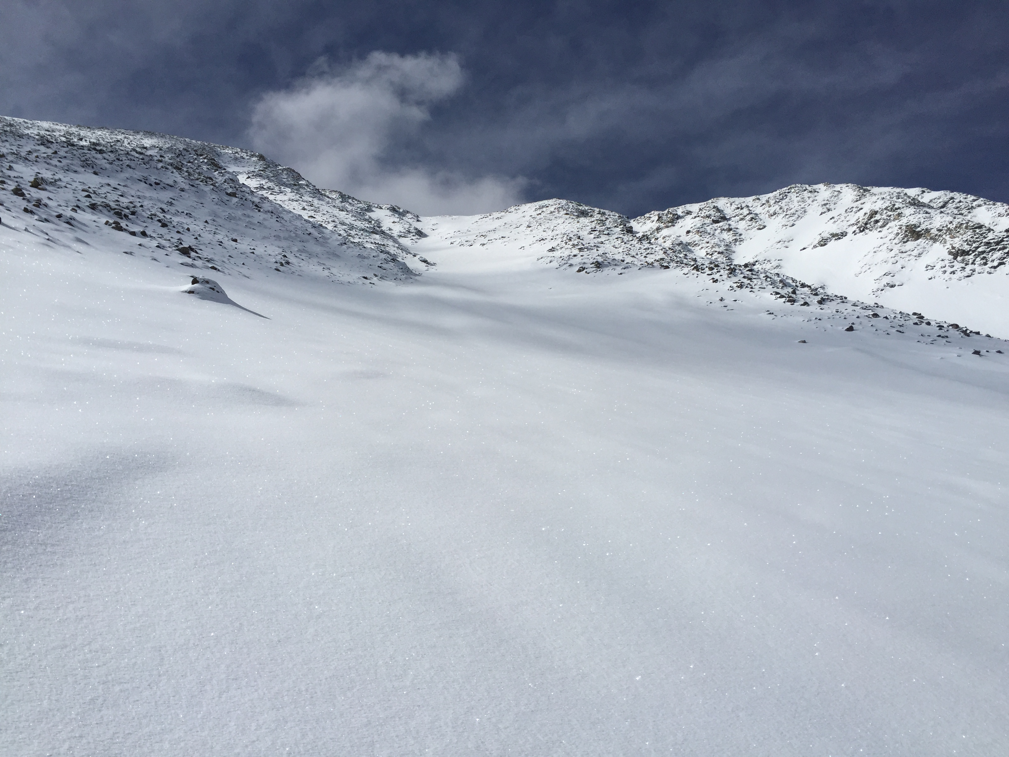
Storm brewing over Lindsey.
I quickly skied out of the line of fire, over to my tracks that had traversed into the basin. The snow had set up nicely here, so I put skins on and pushed back over to the pass between Lindsey and Huerfano. Once on the pass it started to hail some more, and a rumble of thunder was heard over the peak.
More nice turns in the basin!
I pulled my skins and dropped very rapidly into the basin and back towards timberline to the safety of lower elevations.
The experience was a reminder that as we approach May, if I’m not on a summit by 9am, skiing anything steep, especially south or east facing is going to be problematic.
Cinnamon rolls anyone?
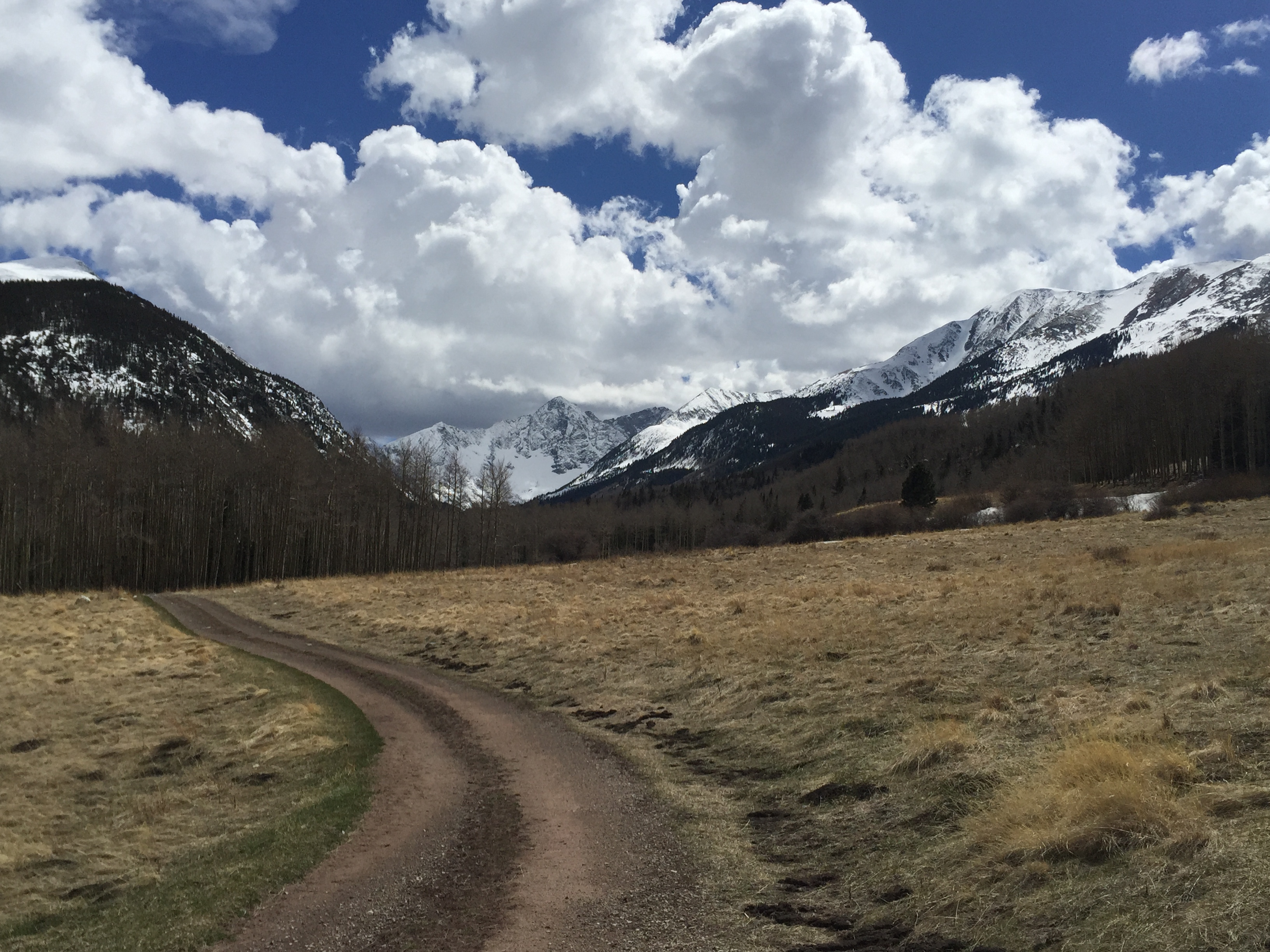
I cruised down to the treeline, made my way back to the summer trailhead, eventually transitioned into my hiking boots, and prepared myself for the 6 mile slog out to the car.
Summer trailhead, still 6 miles to go out!
Peak #31 wasn’t easy by any means, but it felt awesome to put Lindsey to bed and get ready for more peaks as we get into late April and my favorite month of May in Colorado.
Leaving the peaks behind.
Thanks for following along!
Something was following me!
Dr. Jon